
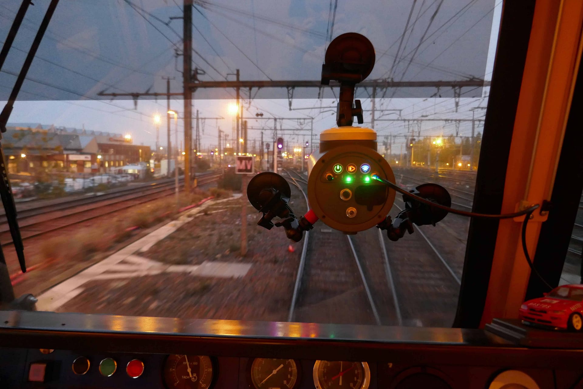
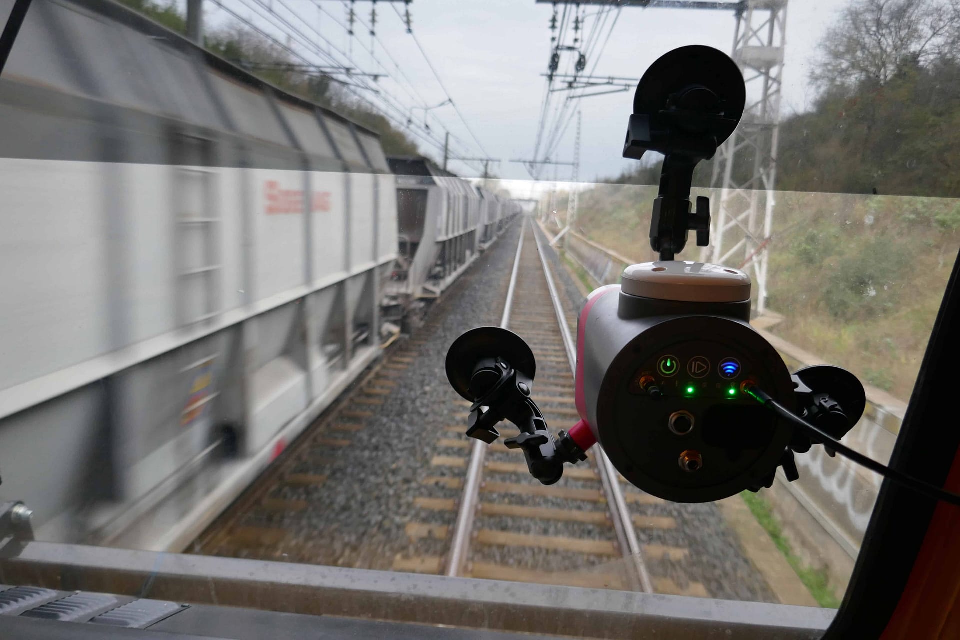
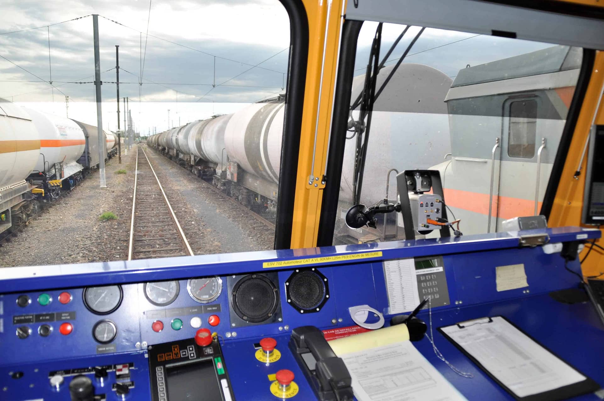
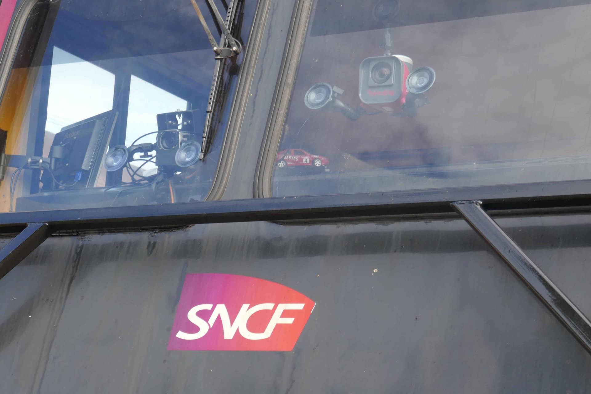
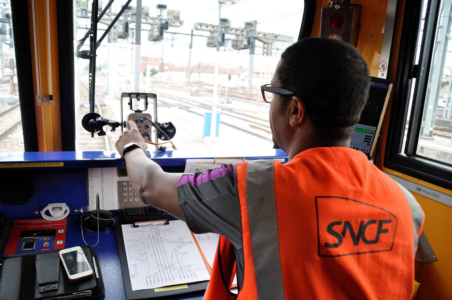
Since November 2016, SNCF monitors its network with 3 railways geometry control trains named “SURVEILLE” or “ESV”. These trains, which are equipped with two imajbox® each, survey the entire main French network. Every month a large amount of images is collected along railways, at a production rate of 40,000 km per month. The geo-referenced imagery is used in the SNCF organisation through different online applications for various purposes :
Online from the office via imajnet® or in the field with real time linear referencing thanks to imajnet® LRS App.
Site preparation for works, asset inventory pre and post work, construction site reception and control, pruning projects…
Signalling programs planning, telecom studies, catenary studies, research capability of railway work, ETCS analysis, and projects preparation.

imajing SAS
2 chemin des Carmes
31670 Labège
FRANCE