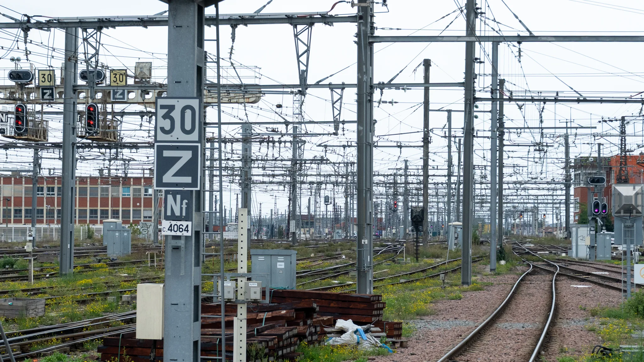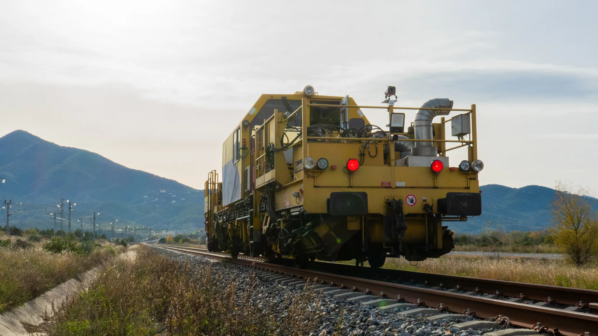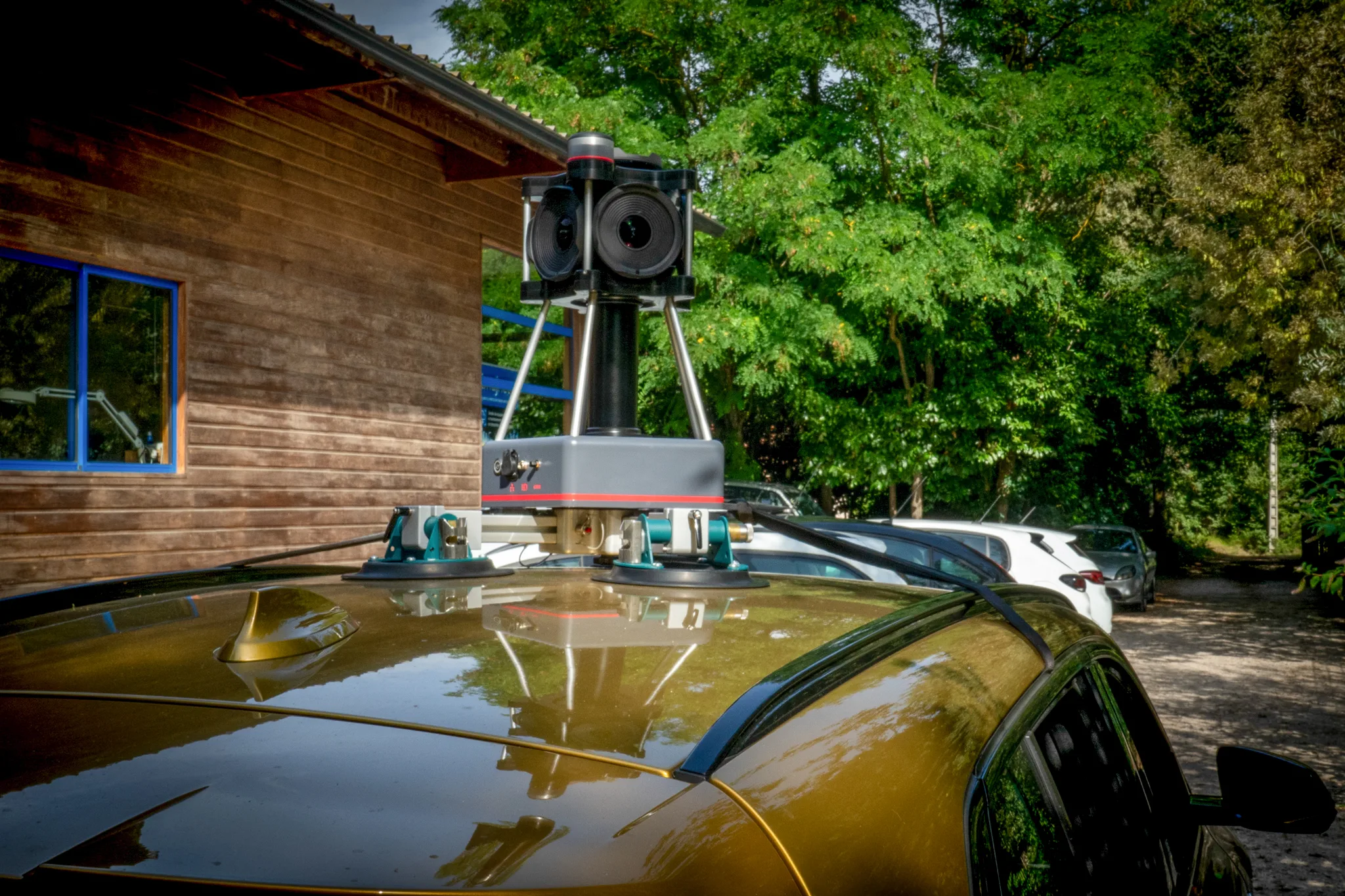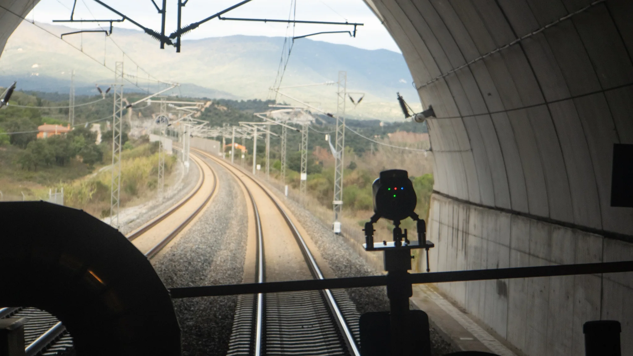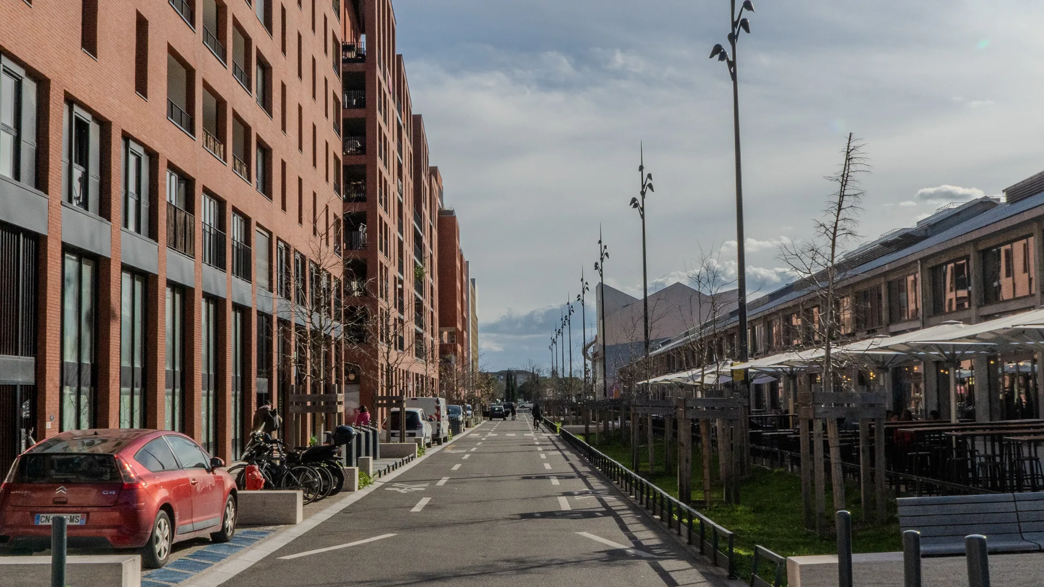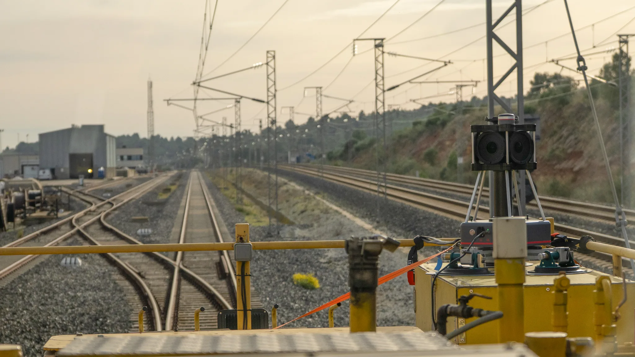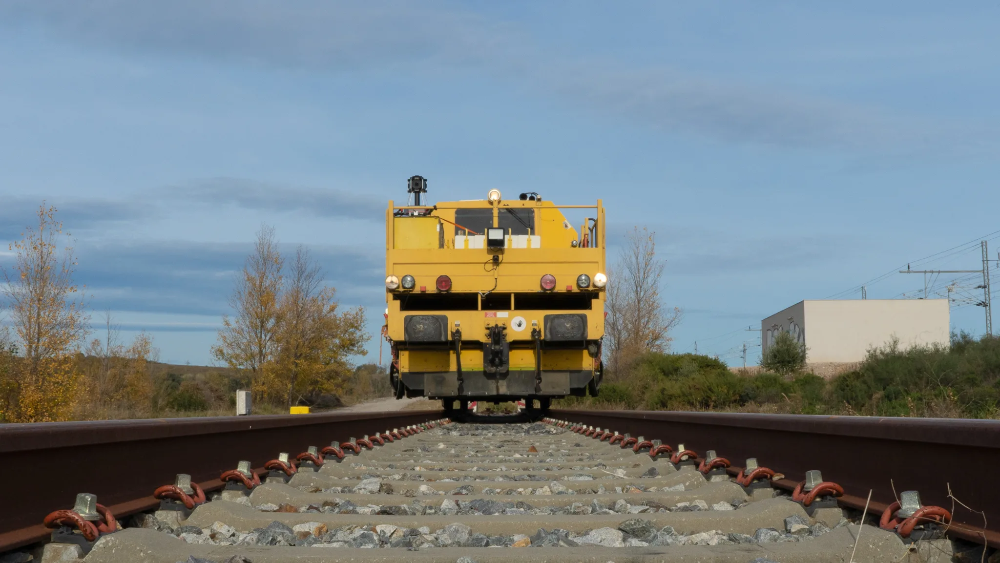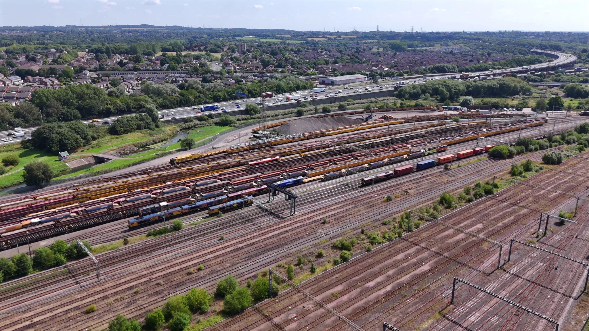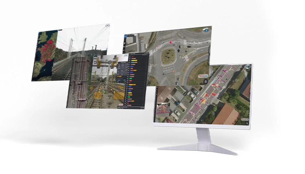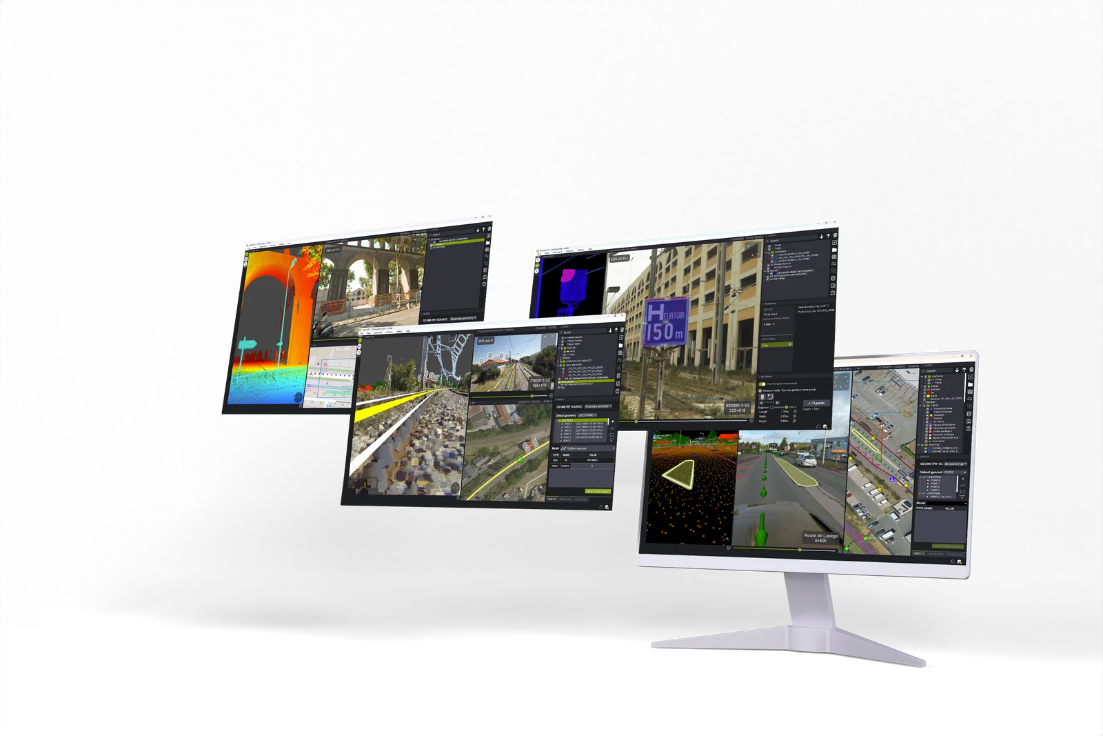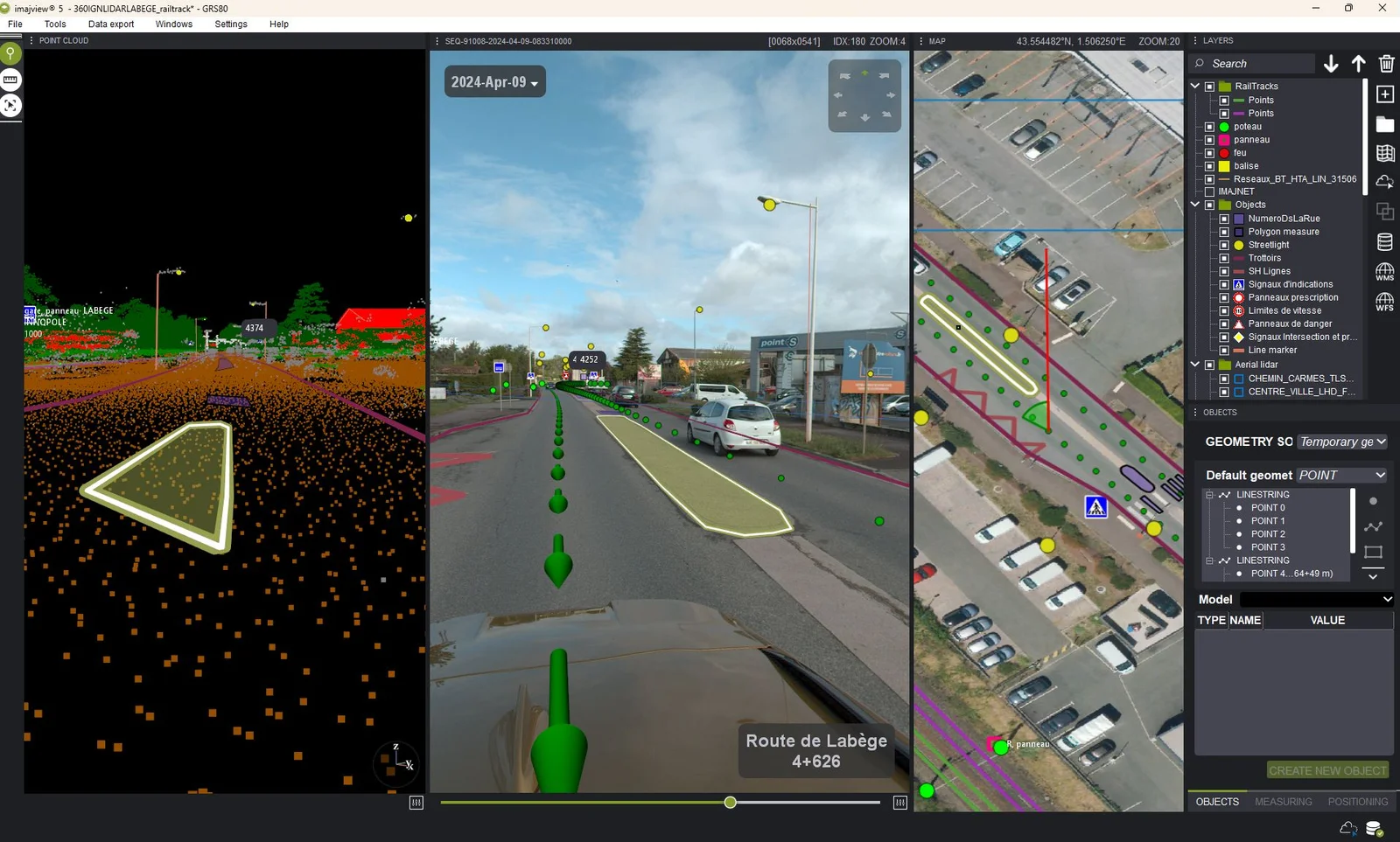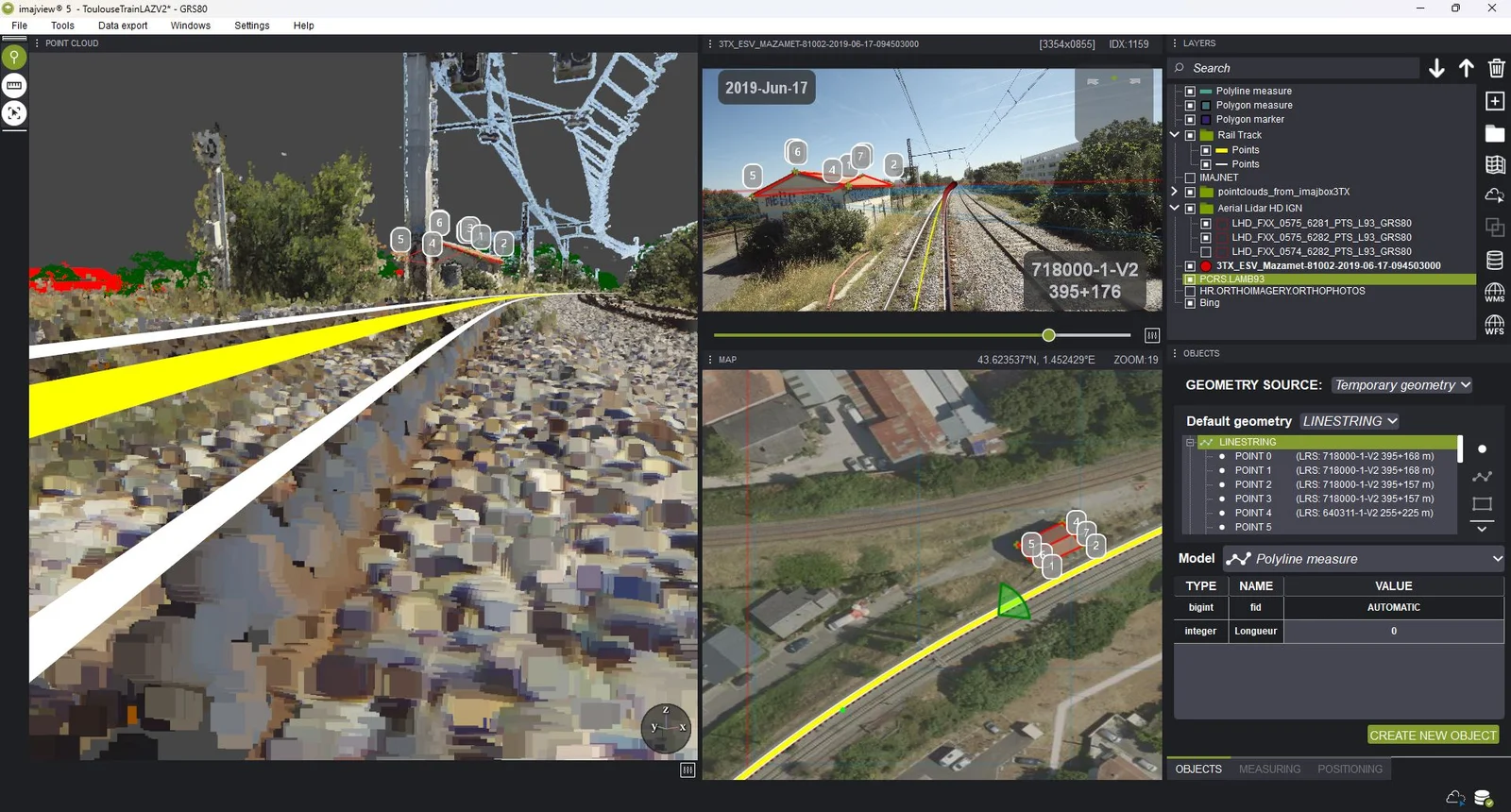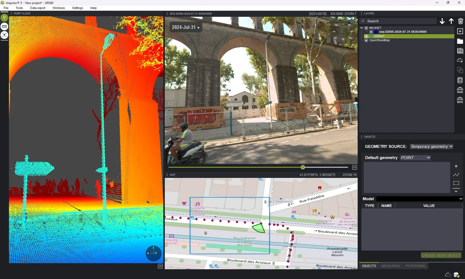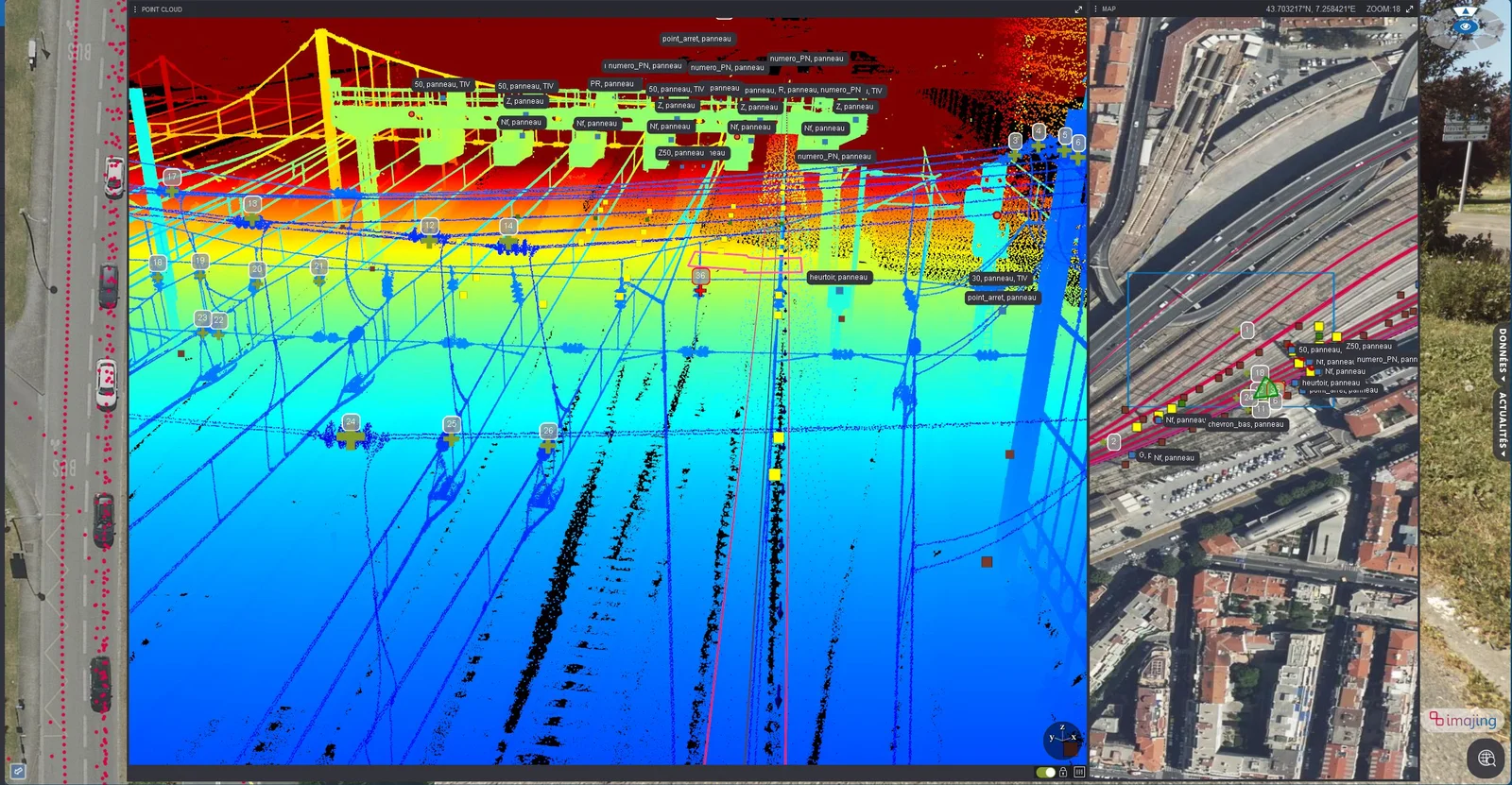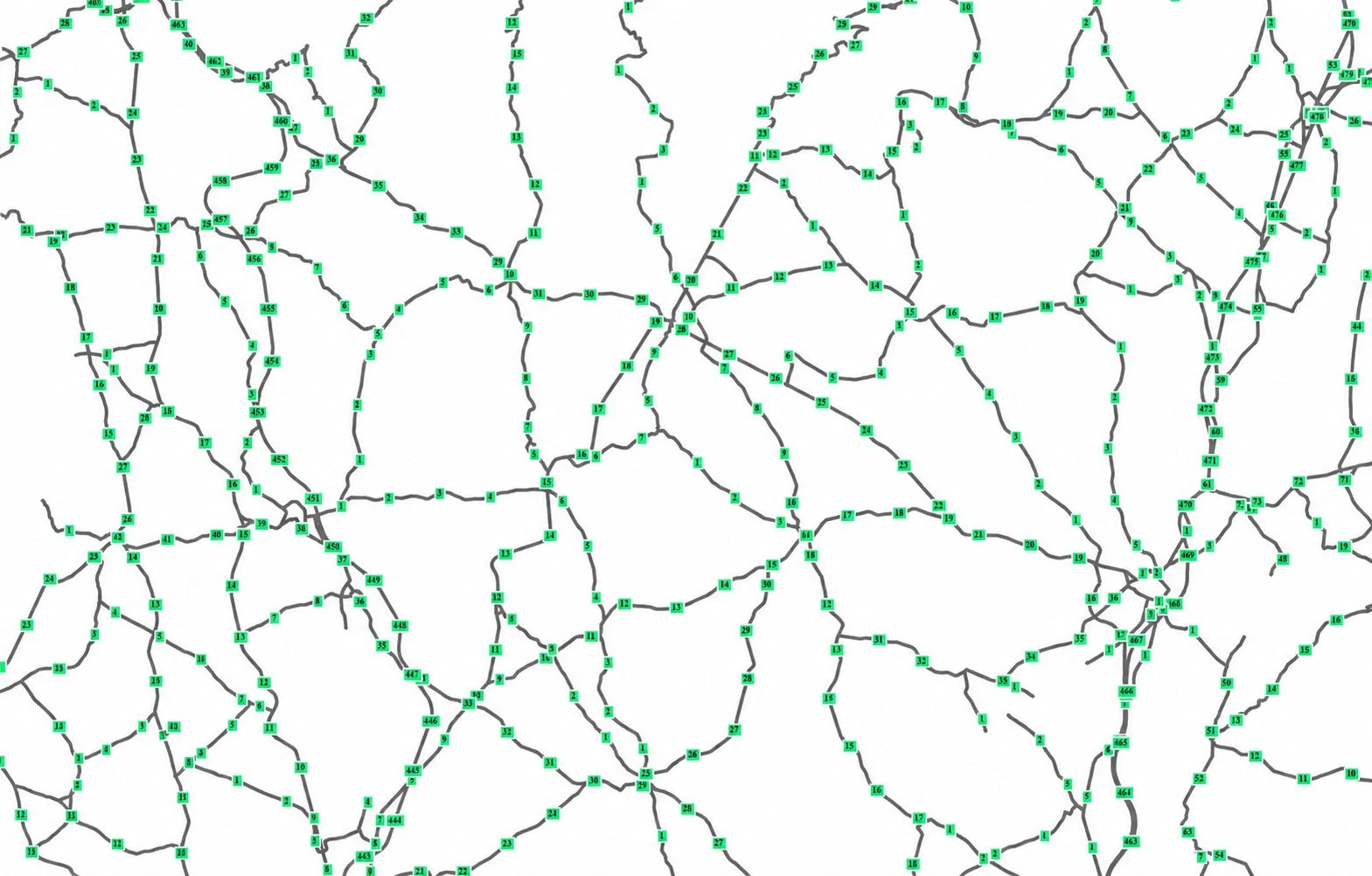
Infrastructure managers, public entities and engineering companies all have a lot to gain from our mobile mapping tools. Our technologies can enhance your processes, productivity and responsiveness.
From the field to the office, our technologies will help you reach your goals as well as open a new world of possibilities.
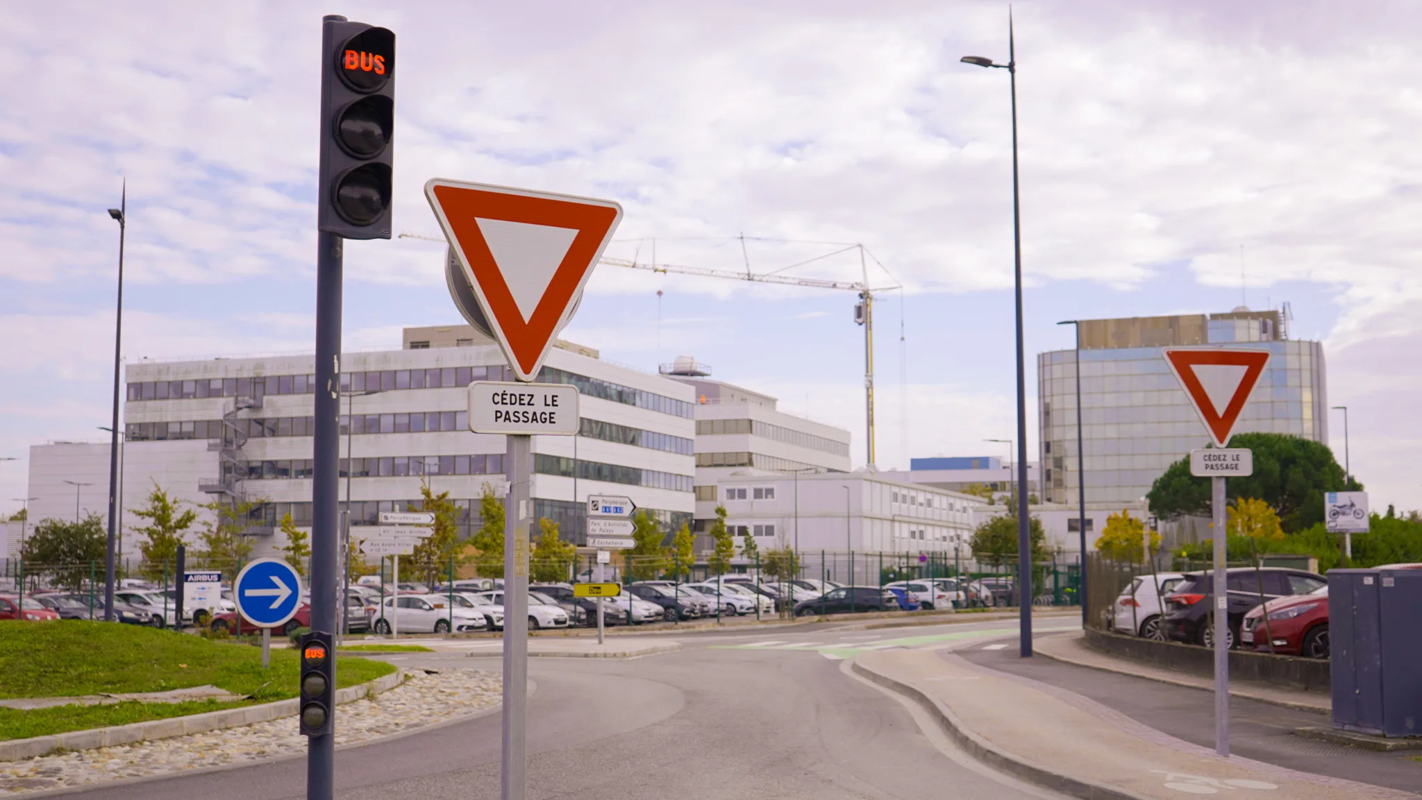
Simplify data collection & control across thousands of kms.
Access up to date geo-referenced images of your network.
Map, monitor and detect change on the ground thanks to augmented visits in real time.
Process precise 3D information from the field and co-create the future.
of your environment, enabling manual or automatic asset inventories.
and history with change detection of your network or territory for virtual visits.
a place to inject and review vector layers from GIS/CAD source.
for your operations and teams in digital twin of your networks.