

Imajnet® web geoservices support a wide range of applications. Its main Roadview and Railview features allow you to work within virtual corridors of 3D-enabled imagery dedicated to linear infrastructure management.

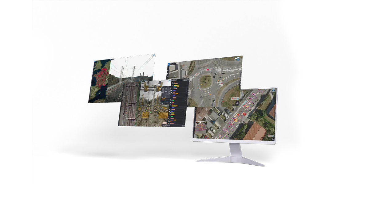
By bringing the reality of the field to your desk, simplify and optimize your network management with quick access to high quality images of your infrastructure. Centralize and share your data to collaborate on infrastructure projects with this powerful tool.
Log in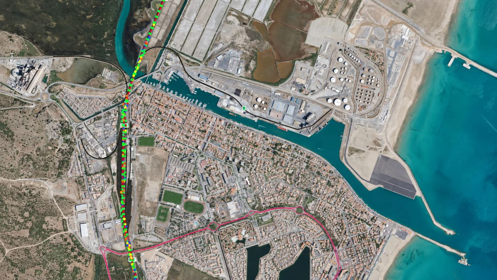
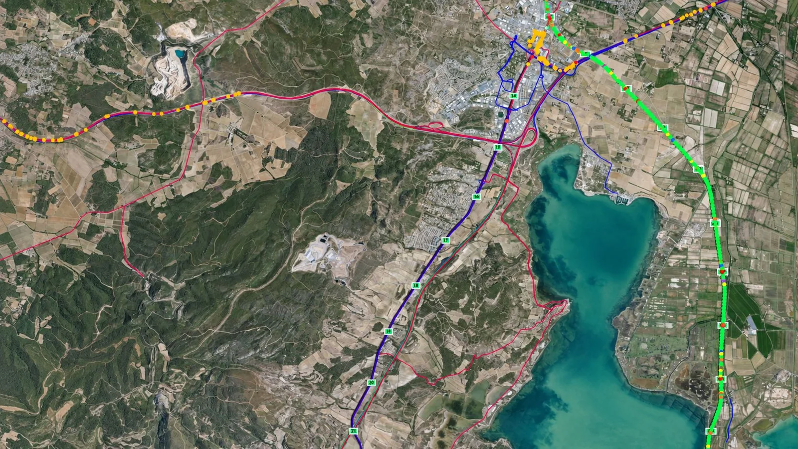
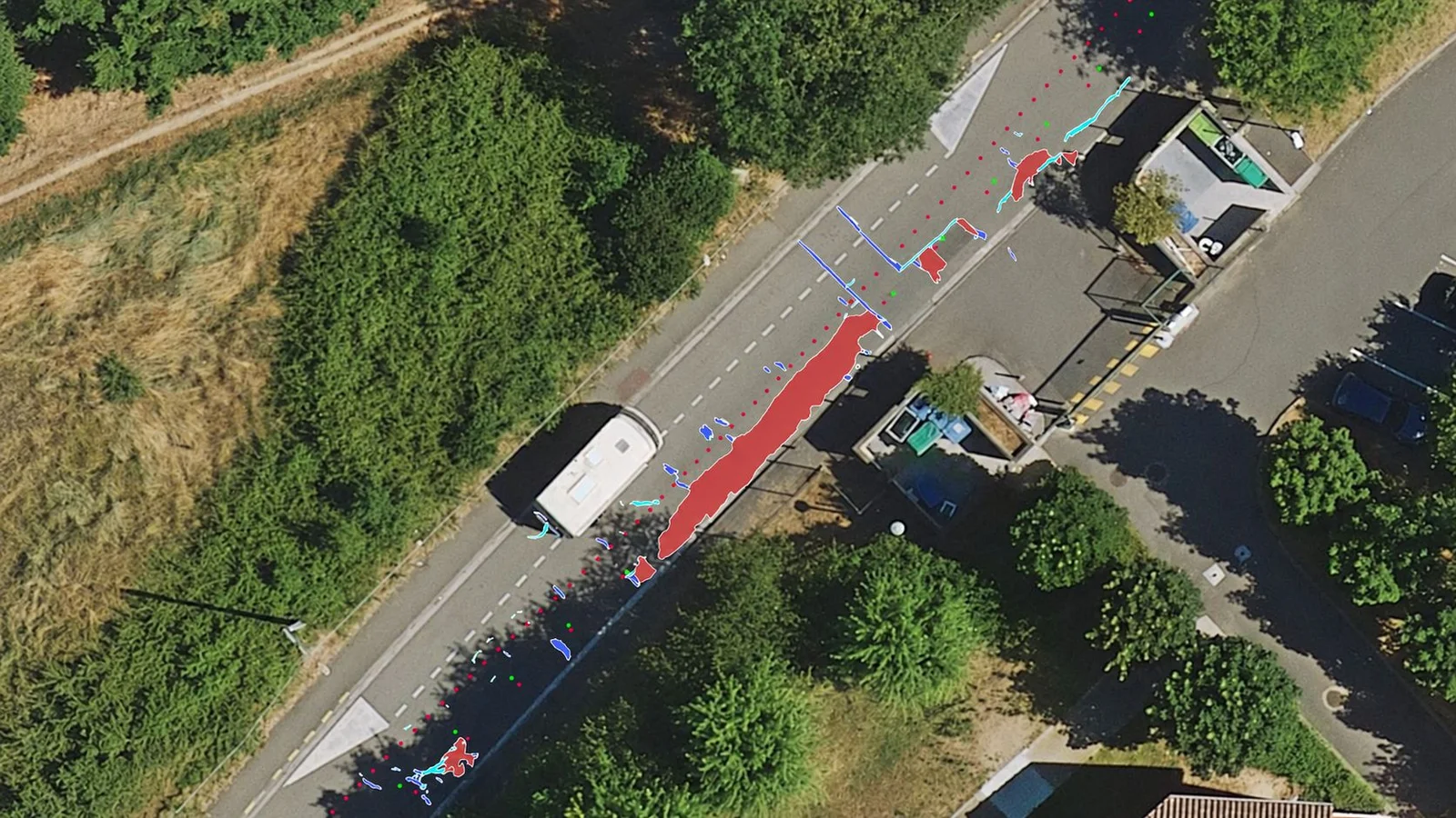
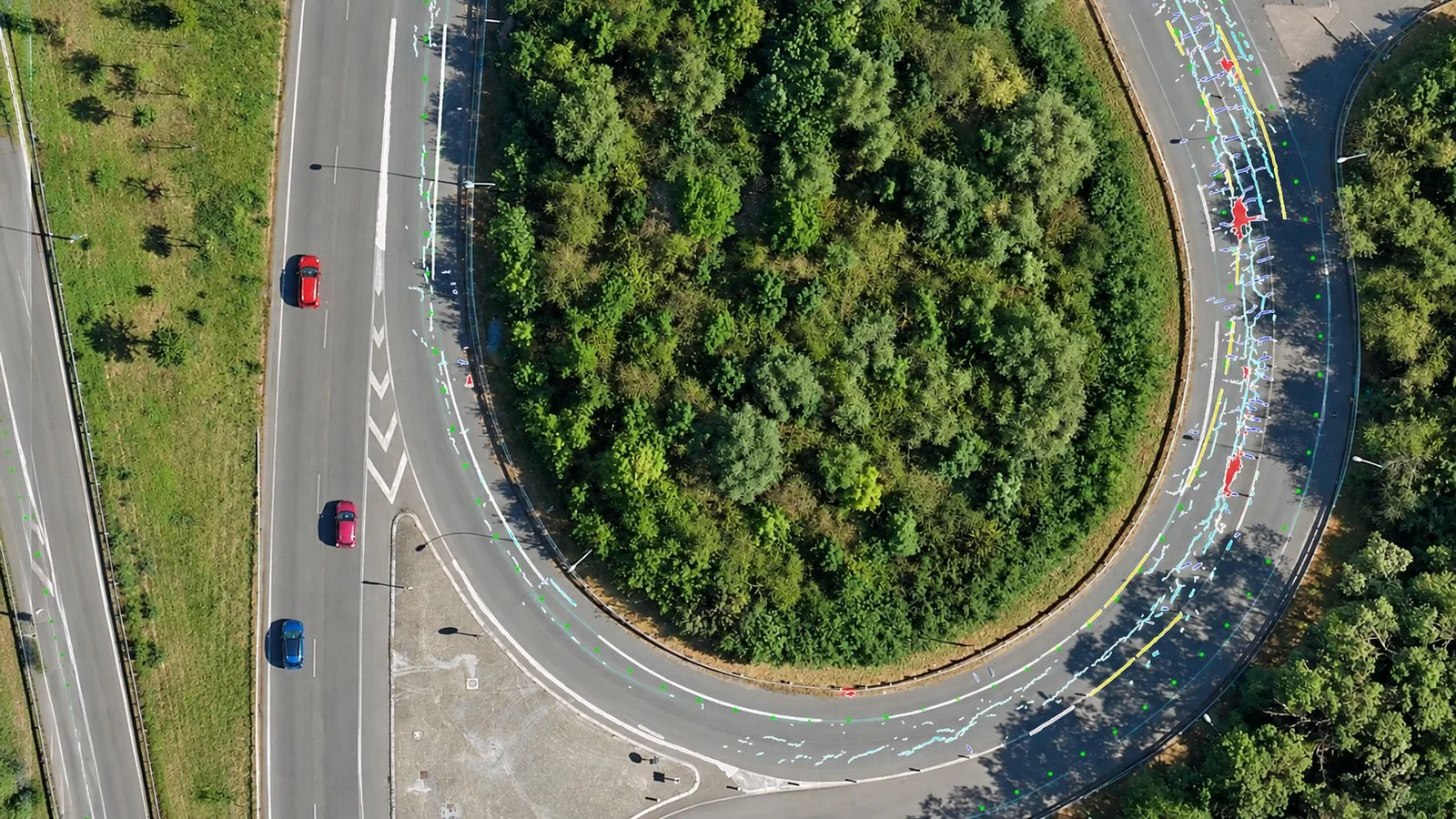
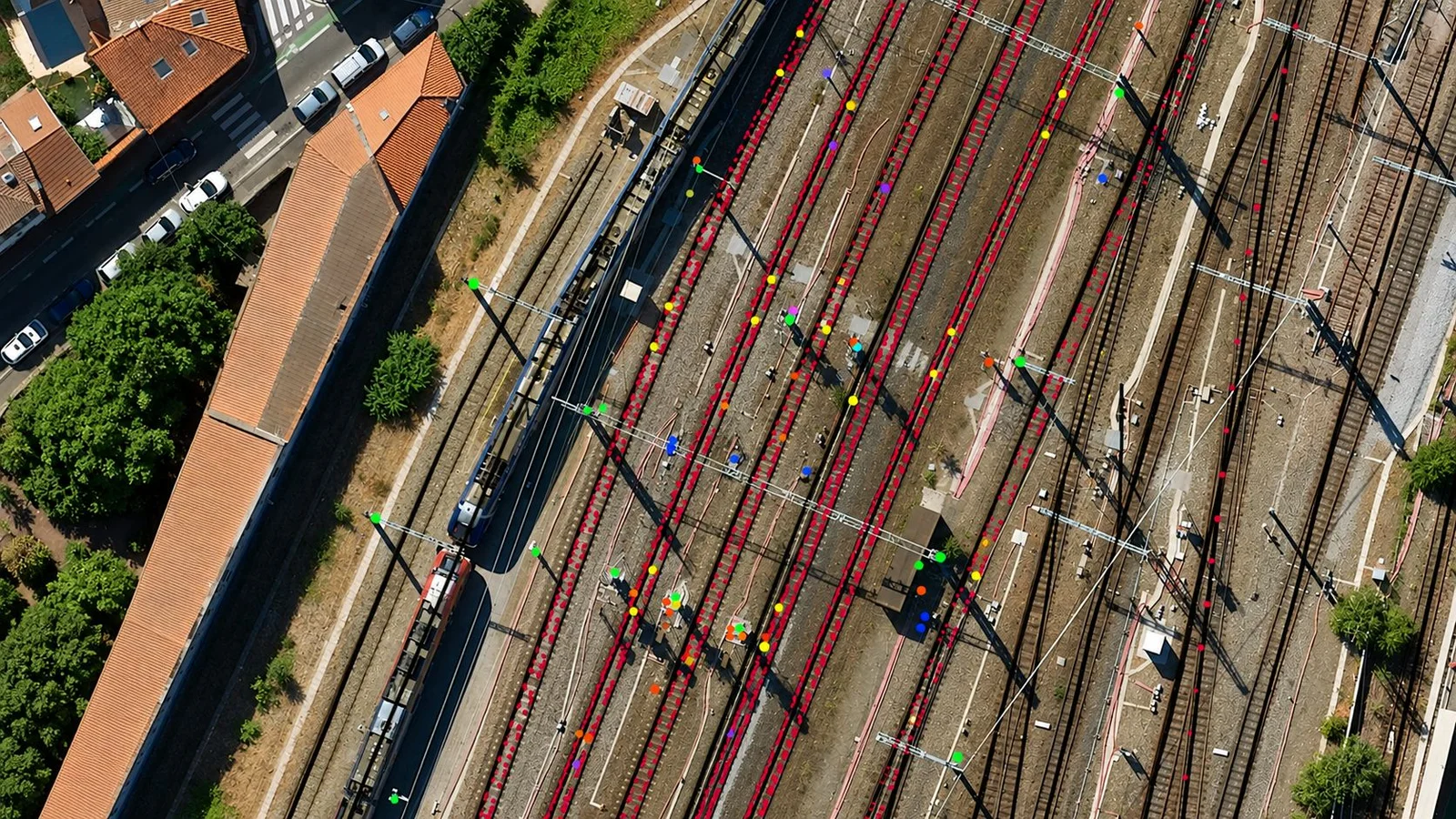
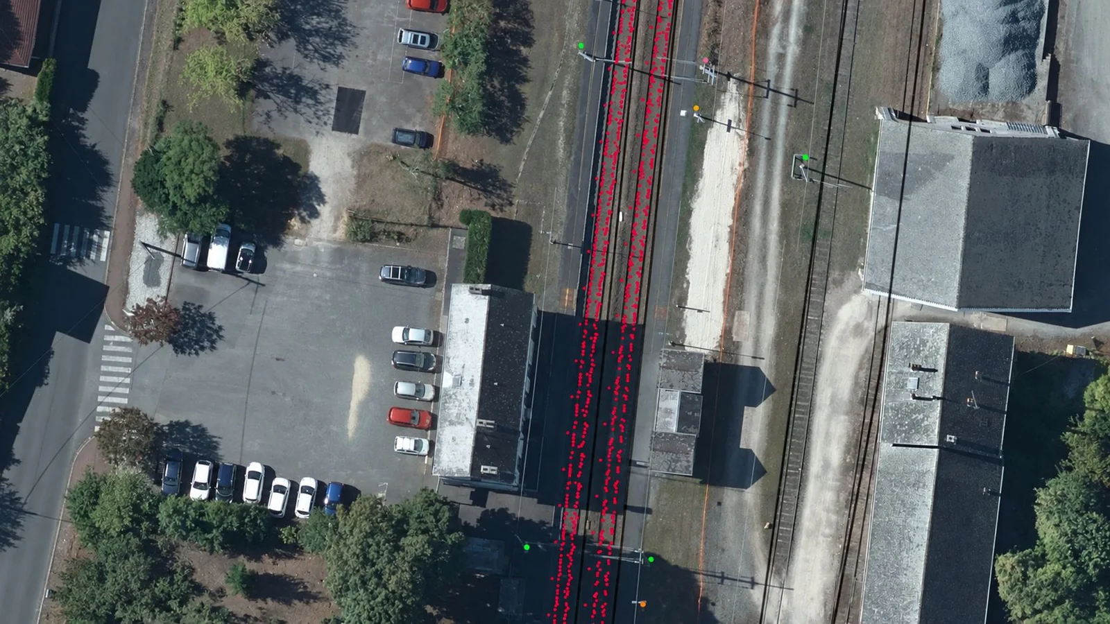
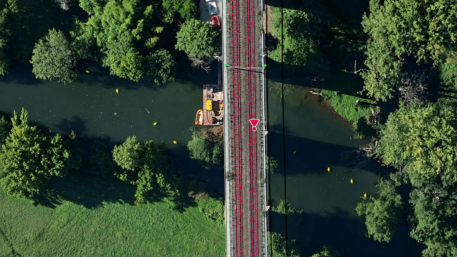


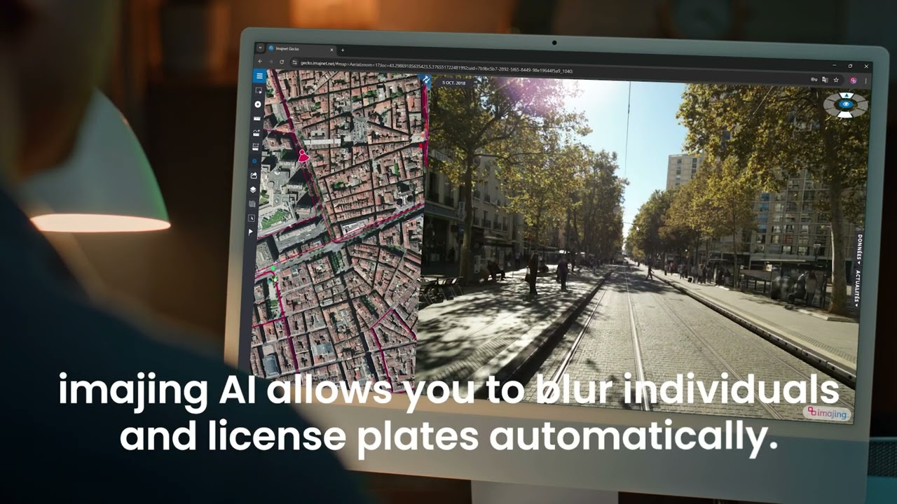
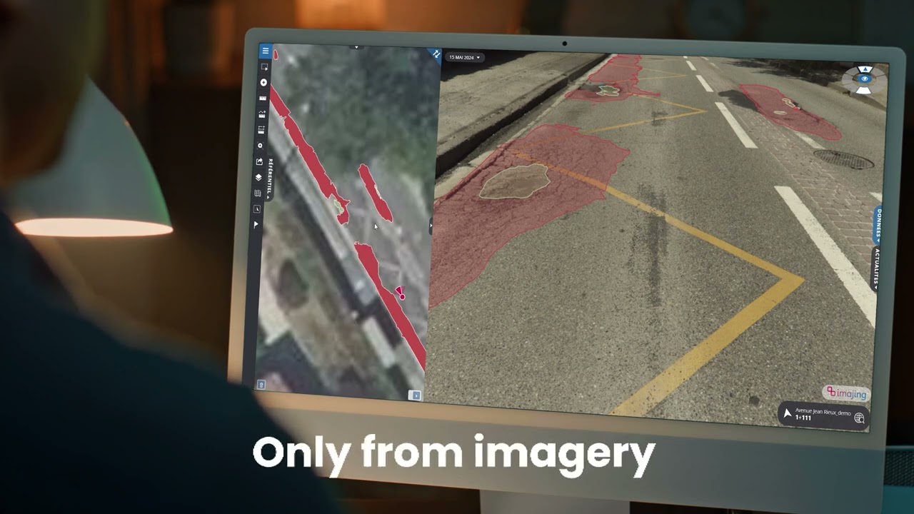

Imajing automated pavement distress analysis (imagery only)
imajnet® Gecko has a set of tools to tag, label and position in 3D any visible element.
Share data with your colleagues to collaborate on infrastructure projects.
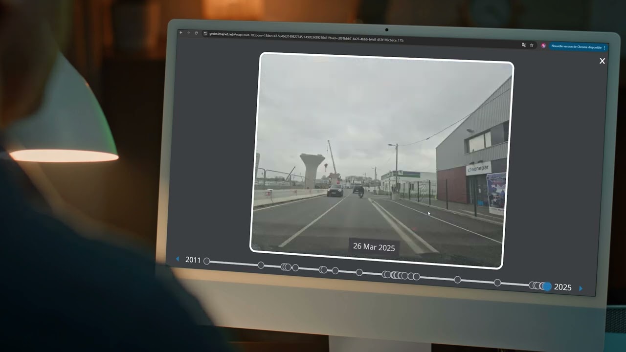
By viewing and comparing previous surveys captured at the same location.
Measure directly in the imagery and create polygons on both images and maps.
Enrich every map object with photos, PDFs, plans, or any other relevant document, on both images and maps.
imajnet® Gecko lets you work with different basemaps adapted to your needs, so you can visualize and analyze your data in the most relevant geographic context.
Easily extract all textual data visible in your imagery using OCR.
Easily manage, filter and analyze your detections and mapped objects with a dedicated data management tool.
In multiple formats for seamless integration with other GIS software.

AI services within imajnet® Gecko can locate in 3D and create a structured inventory of your infrastructure.
Discover how Imajnet AI can help you build your infrastructure inventories.
Explore Imajnet AI
Extend Imajnet® into the field: turn your smartphone into a tool for data collection, positioning and enrichment.

With dedicated mobile apps fully integrated with the Imajnet® geospatial platform, field teams collect, centralise and share their data while positioning themselves accurately along linear infrastructure networks.

Capture and enrich field imagery — on foot, by bike, by car or by train — with nothing but your smartphone, and send every georeferenced survey straight to imajnet®.
Discover the app
Locate yourself using linear coordinates in real time, and get the linear reference, distance and direction of the closest point of the network when you are away from the route.
Discover the appFor GIS users
For GIS users
Any application