
Having good geographic positioning and accurate elevation is key.
However, this is often not enough to work with existing linear data and field teams.
Imajing has integrated linear referencing tools across its entire toolchain, making it possible to localize assets using both geographic and linear positioning.
This deep integration of Linear Referencing Systems in all our tools makes it possible to import any existing LRS (network topology and milestones) or build an LRS from scratch with Imajview mobile mapping to GIS software by importing or creating network topology from survey traces, and by using milestones or kilometric points from any point layer, from AI milepost detection with OCR reading, or from manual positioning in imagery or point clouds.
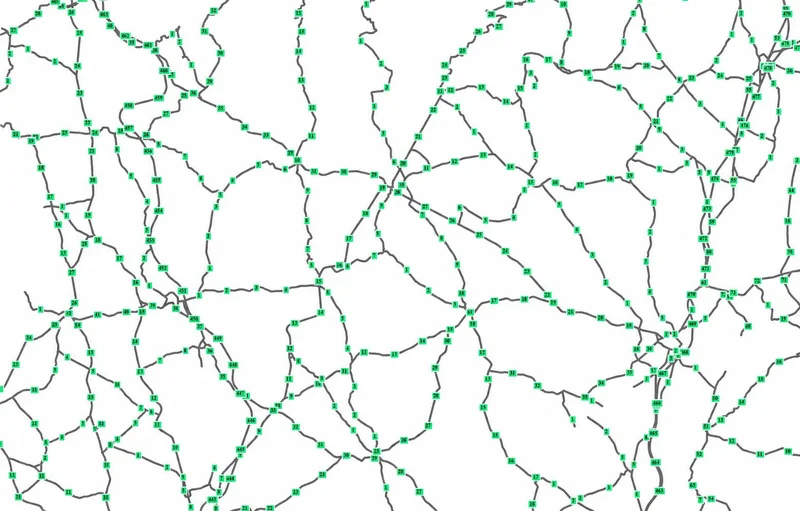
Once an LRS is published, any geographic position is automatically projected onto the closest LRS topology and computed in linear coordinates.
Searching for a location can be done via maps or from an LRS position in the form of a road/track and milestone, both on desktop and web solutions.
In the field, users can localize themselves in real time in linear coordinates with the smartphone application Imajnet LRS App.
Linear position can be expressed in kilometers or miles.
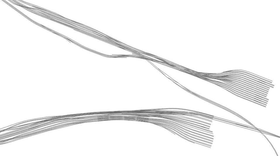
Whether you manage railways, roads, pipelines, electrical networks, or waterways, linear referencing provides a common framework to precisely locate, manage, and monitor assets along your infrastructure.
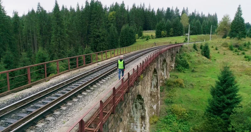 Railways
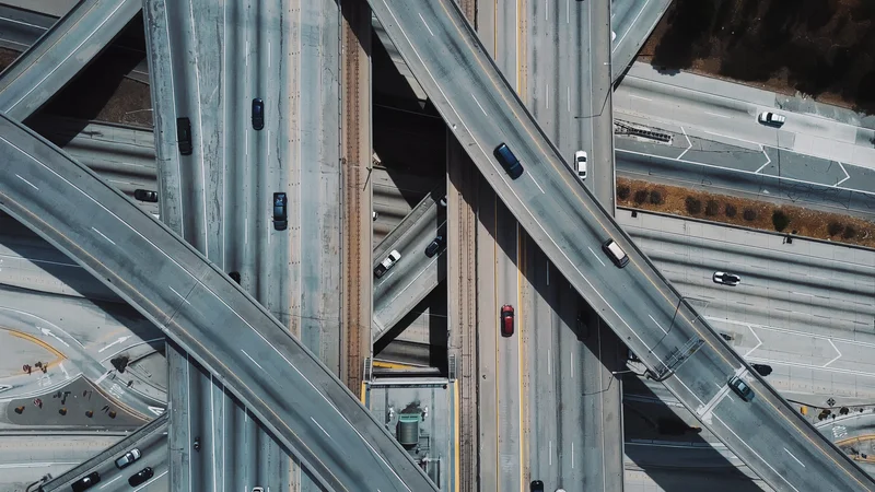 Roads
Roads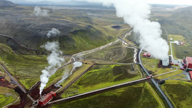 Pipelines
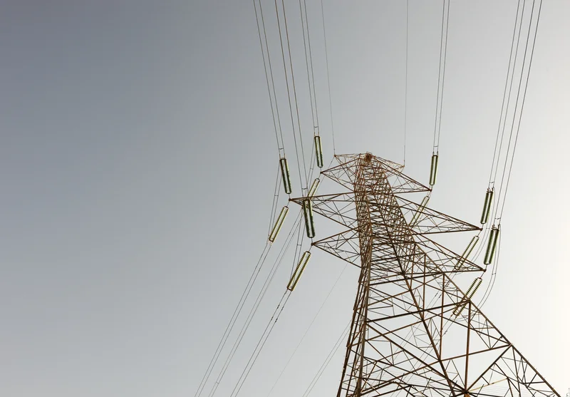 Electrical networks
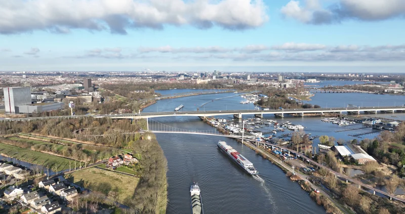 Waterways
We’ll show you how to solve them with Imajing linear referencing tools.