DISTRIBUTORS

OUR NEXT EVENT:

INTERGEO
September 15 to 17, 2026

Munich, Germany
Booth B6A059

vision-network-road-rail-city-inventory-management-collaboration-work-space-knowledge-reality-field

All you need is insight.

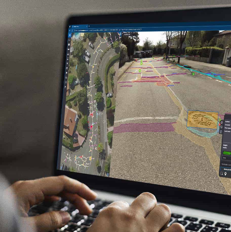
Get global intelligence from the field without leaving your desk.

Efficiently manage infrastructure from one source.
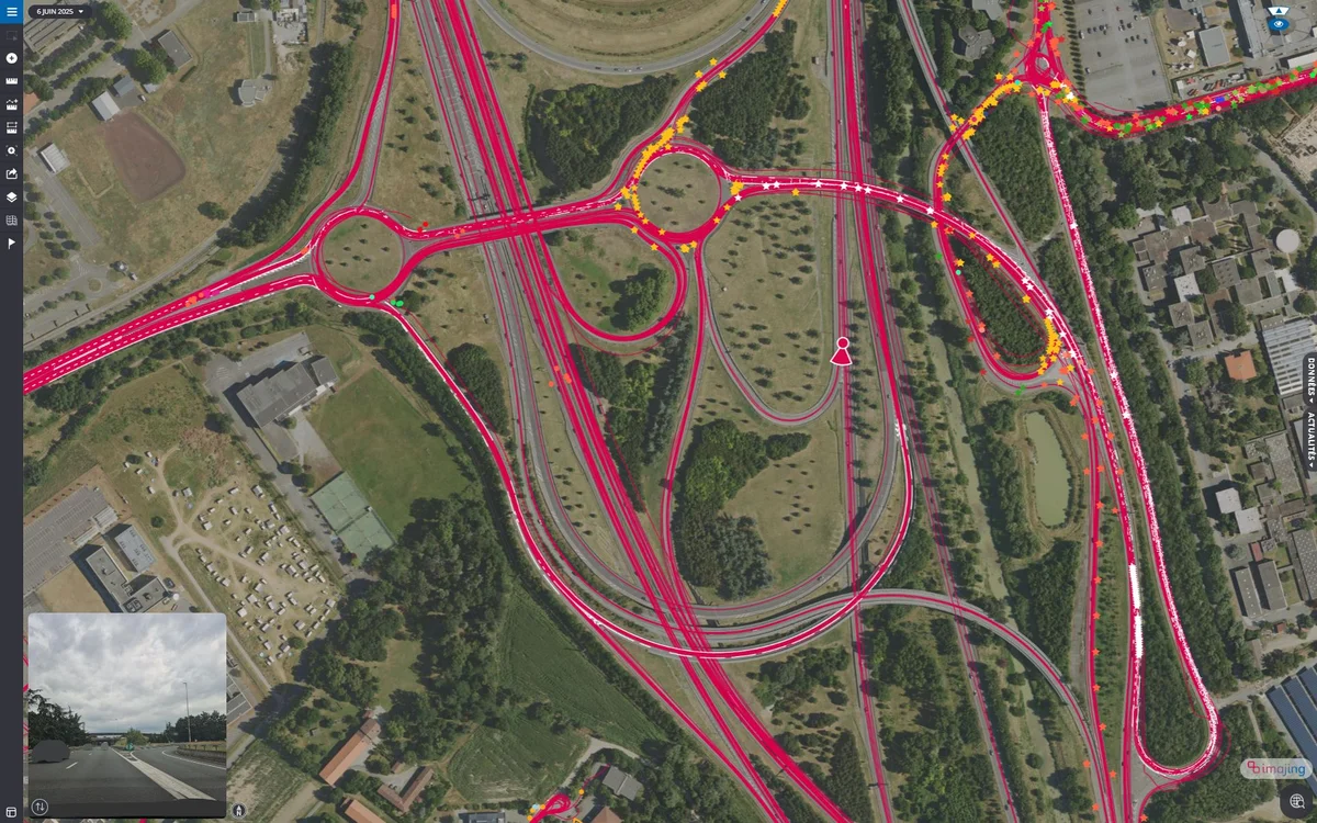
Monitor, consolidate and interact with network data with ease.

Your entire infrastructure at your fingertips.

Optimize your processes and facilitate your teams' work
with our 3D geospatial technologies.

  • UP-TO-DATE DIGITAL VIEW

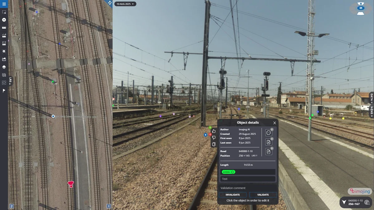
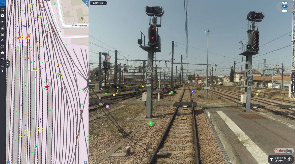
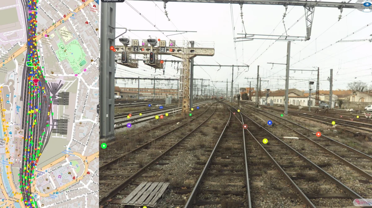
    Access a constantly updated flow of 3D geo-referenced images.
  • ACCURATE 3D MAPPING

    Create 3D reconstructions of your environment with ease.
  • AUGMENTED REALITY

    Contextualize your data by combining GIS/CAD layers with surveyed images.
  • ONE COLLABORATIVE PLATFORM

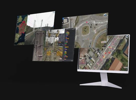
    Leverage our geospatial technologies to further your mission, vision and ambition.

Enriched by the power of artificial intelligence, our accurate and simple end-to-end mobile mapping toolchain will revolutionize the way you work.

  • imajbox-mobile-mapping-made-easy-accurate-road-rail-aerial-collection-sensors
  • imajview-spatial-data-engineering-GIS-mobile-mapping-to-gis
  • imajnet-web-geo-services-vision-network-management-work-collaboration
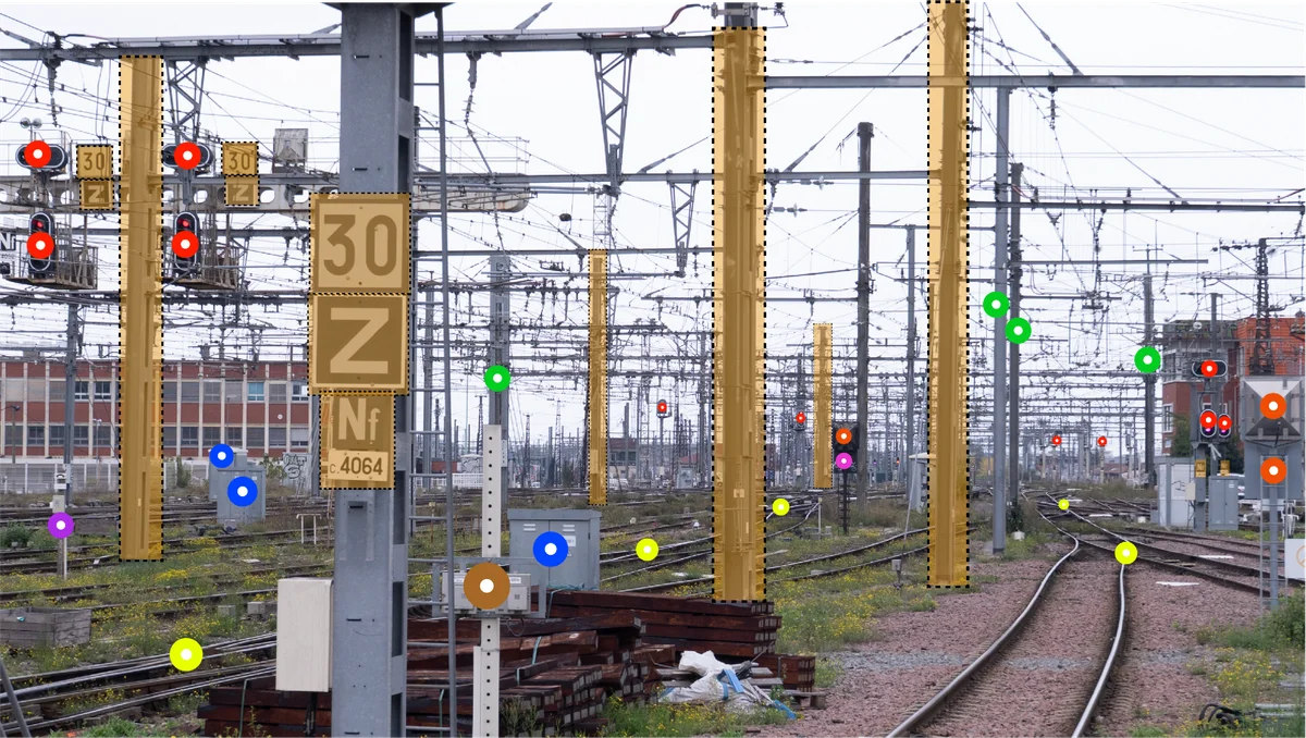
  • imajing-ai-detection-inventaire-automatique-route-rail-flotage

Imajing’s solutions

Mobile mappers

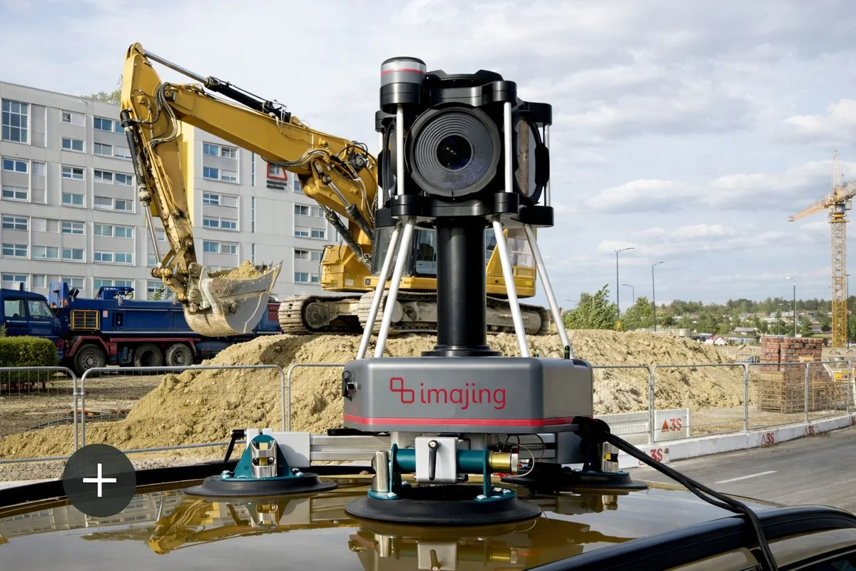
Capture global-shutter planar or panoramic imagery with centimeter-level accuracy.

Mobile mapping to GIS desktop production software

Import point clouds or imagery from any sensor, whether from Imajing or third-party systems.

Work on multiple datasets in parallel within the same environment to digitize information, create databases, build linear referencing systems, apply GIS symbology, and much more.

Imajview

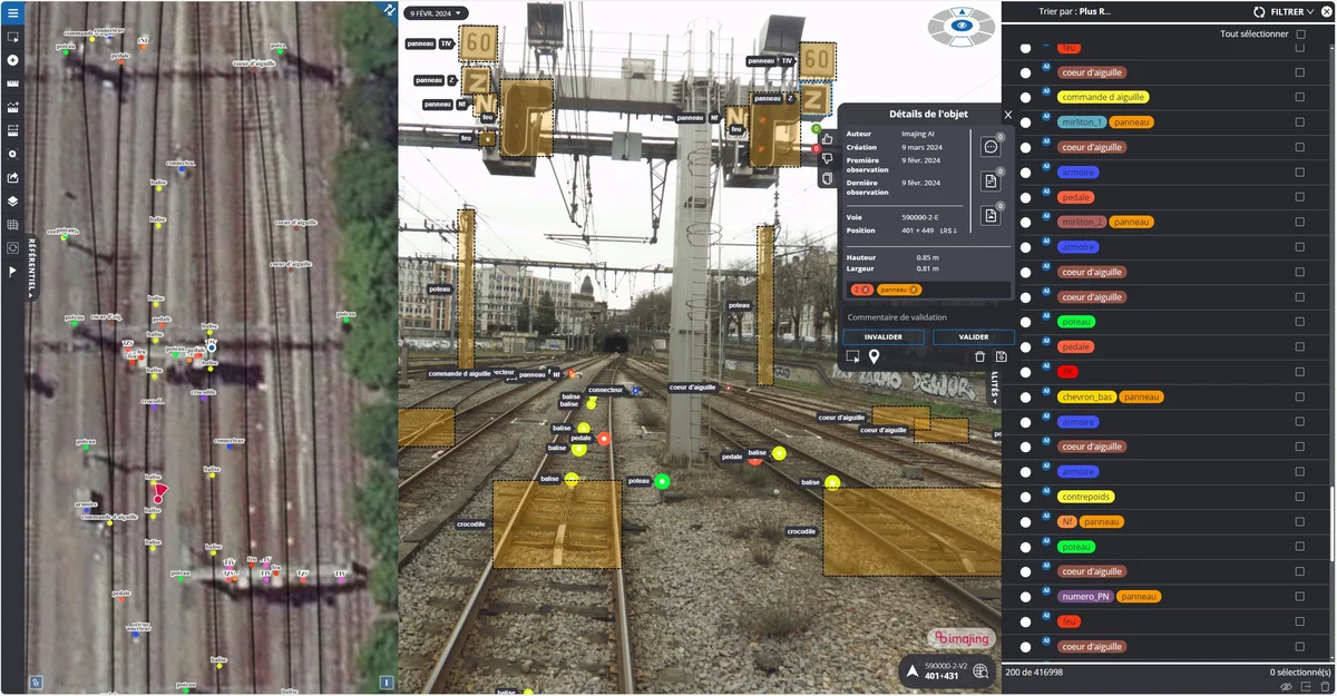
Web geoservice with integrated AI GIS production

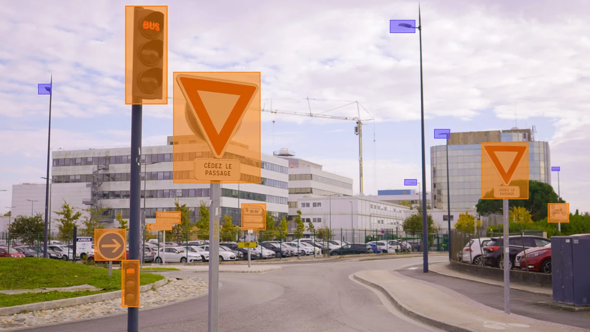
Manage your networks online, collaborate on the same up-to-date data, and automatically produce large volumes of GIS information with AI models integrated directly into the platform for road and rail applications. Work with the full Imajnet® experience on PC, and stay connected in the field with the smartphone version, designed for fast and convenient data consultation on the go.

Imajnet

Discover our latest news!

THEY CHOSE US.

Whether you manage road, rail, waterway or utility infrastructure, we have solutions for every need.

  • FDOT
  • CRR
  • infrabel
  • FGC
  • kansascity
  • logo_sncf_reseau
  • MTOP
  • ocw_logo_fr
  • SLUGS
  • SPW

Want to know more?

Download our imajing products datasheets!

DEMANDE DE DEVIS

Quel est votre projet ?

SOLICITE UN PRESUPUESTO