
Produce and enrich field imagery

Complete your field surveys on foot, by bike, car or train, using only your smartphone.
Don’t just explore your reality. Enrich it.

How many times have you wanted to check a piece of field information, only to discover that the area concerned had never been surveyed?
How many times have your teams travelled to a site simply to check something that could have been verified remotely from an online platform?
In large organizations, this gap between the reality of the field, the availability of surveys and access to the data is a recurring problem.
Teams need reliable, recent and easily accessible information. Yet traditional acquisition campaigns do not always cover the right place at the right time.
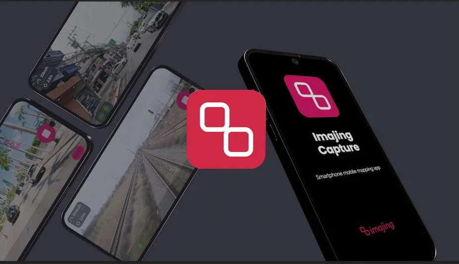
With Imajing Capture, Imajing provides a concrete answer to occasional gaps in field data.
The application allows colleagues who are already on site to produce georeferenced data themselves, ready to be used across their whole organization without any data handling or processing work.
There is no longer any need to wait for a dedicated survey campaign or to mobilise significant resources for every check. Information can be captured simply, at the moment the need appears, from any vehicle.
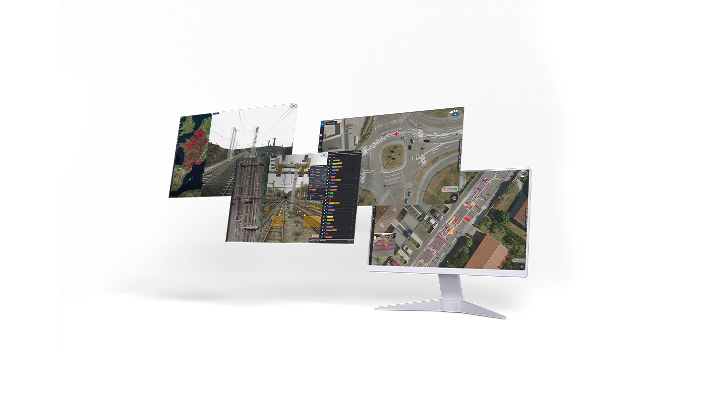
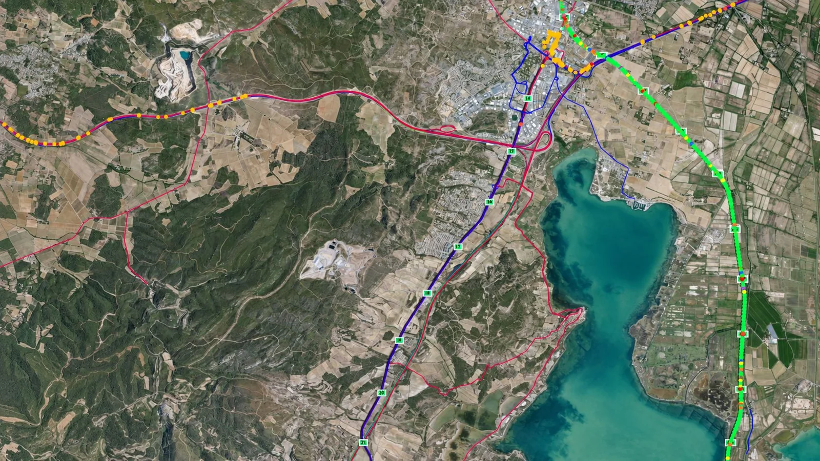
The collected data is then automatically centralised in Imajnet®, where it can be consulted, shared, analysed and put to work by the teams concerned.
Imajing Capture turns every field operation into an opportunity to update the data. Organisations become more responsive, avoid unnecessary travel and keep a more recent view of their infrastructure.
The technology behind Imajing Capture
The main challenge was to master particularly demanding technical constraints on a smartphone: sensor synchronisation, the variable quality of inertial measurements, image stream management, camera calibration, trajectory stability and the robustness of positioning in real conditions.
Unlike a dedicated embedded system, a smartphone was not initially designed to meet the metrological requirements of professional mobile mapping.
Imajing’s research and development teams nevertheless succeeded in adapting their positioning and data fusion algorithms to this constrained environment, with particularly promising results.
The performance of the system relies on one essential element: the temporal synchronisation of the sensors.
To fuse data coming from different sources efficiently, the timestamps of the GNSS, inertial and image streams must be precisely mastered. This fine synchronisation associates every image, every inertial measurement and every position with a consistent trajectory — an essential condition for reaching a high level of accuracy.
Drawing on its experience in mobile mapping, Imajing transferred part of its positioning and data fusion algorithms to the smartphone.
That step gave birth to Imajing Capture, an application designed to democratise georeferenced field acquisition while maintaining a remarkable level of accuracy.
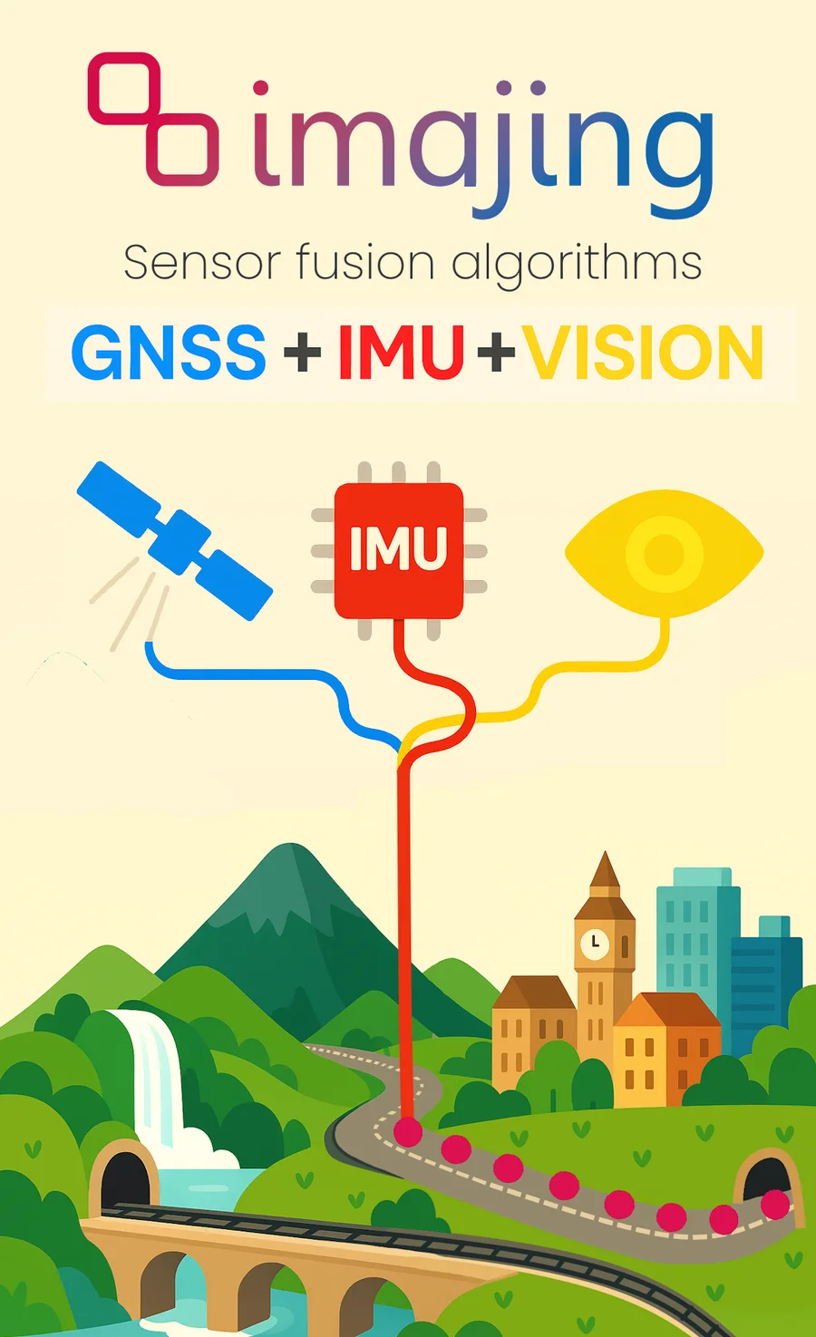
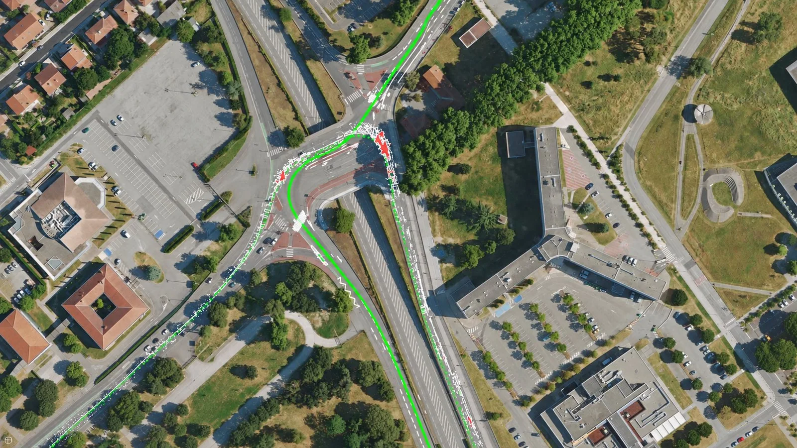
Imajing Capture makes it possible to run mapping acquisitions directly from a smartphone, while accurately positioning the images and the objects they show.
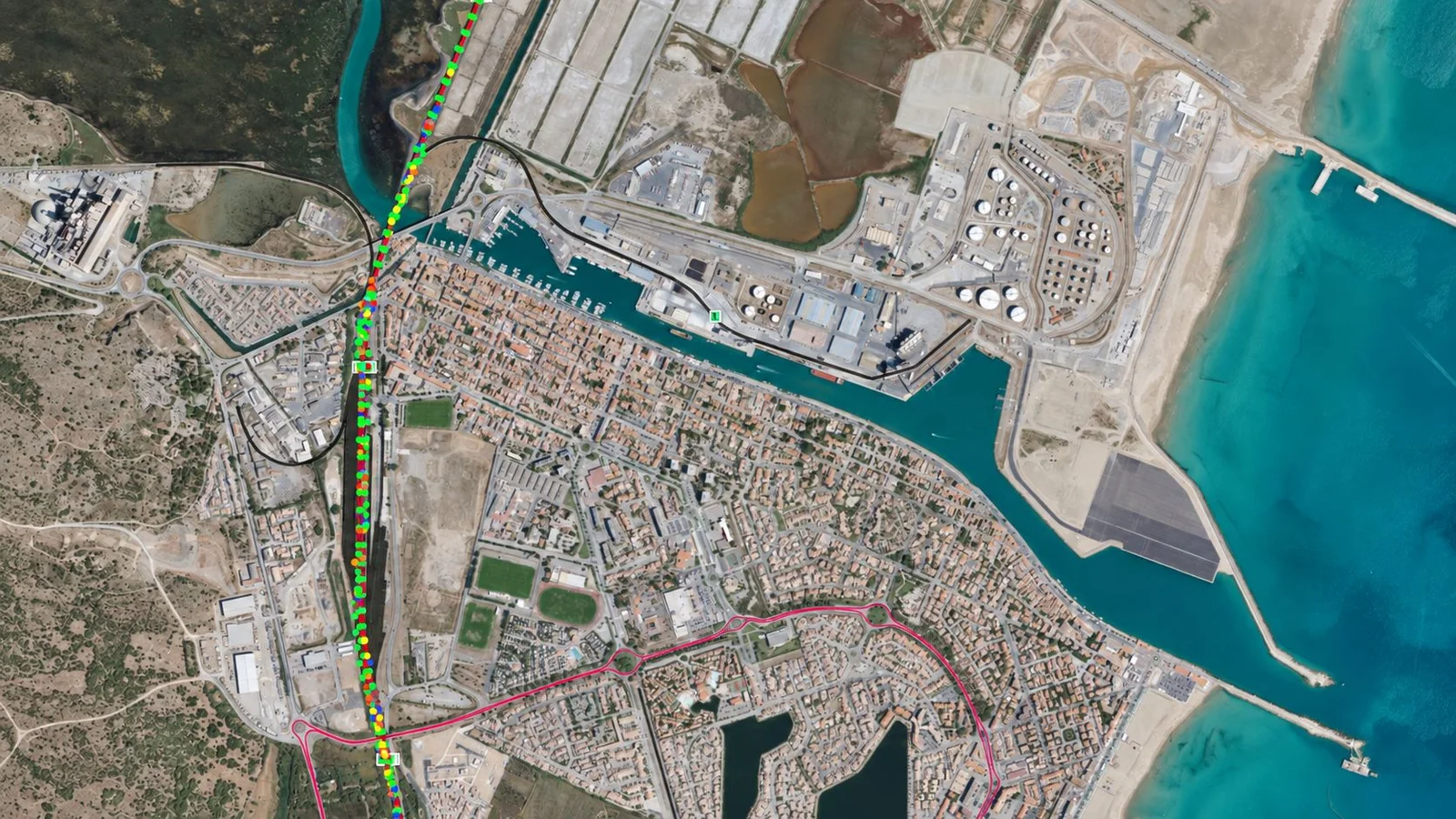
Tests carried out in difficult environments, in particular in tunnels several hundred metres long, demonstrate the ability of the solution to maintain a consistent trajectory and to correctly reposition the elements visible in the images, even when the GNSS signal is not continuously available.
Direct integration with Imajnet®
The collected data is automatically transferred to Imajnet®, Imajing’s collaborative geospatial platform.
Teams can quickly consult the acquisitions, update existing data, produce new geographic information and share the results with the different departments concerned.
Artificial intelligence analysis
Integrating Imajing artificial intelligence takes a simple smartphone even further.
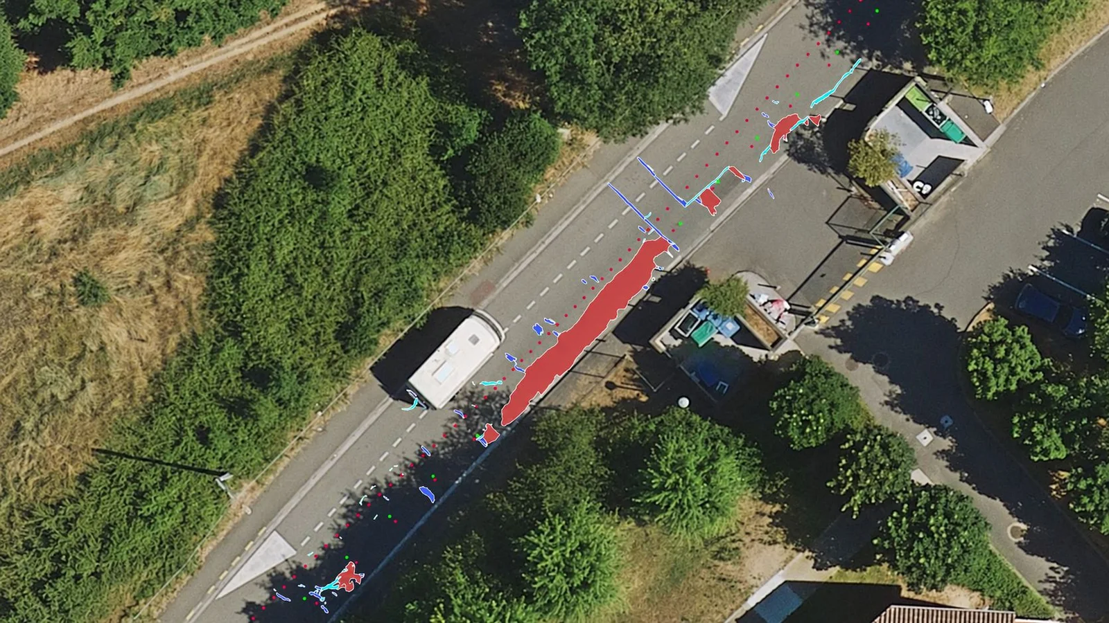
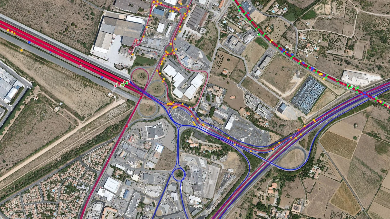
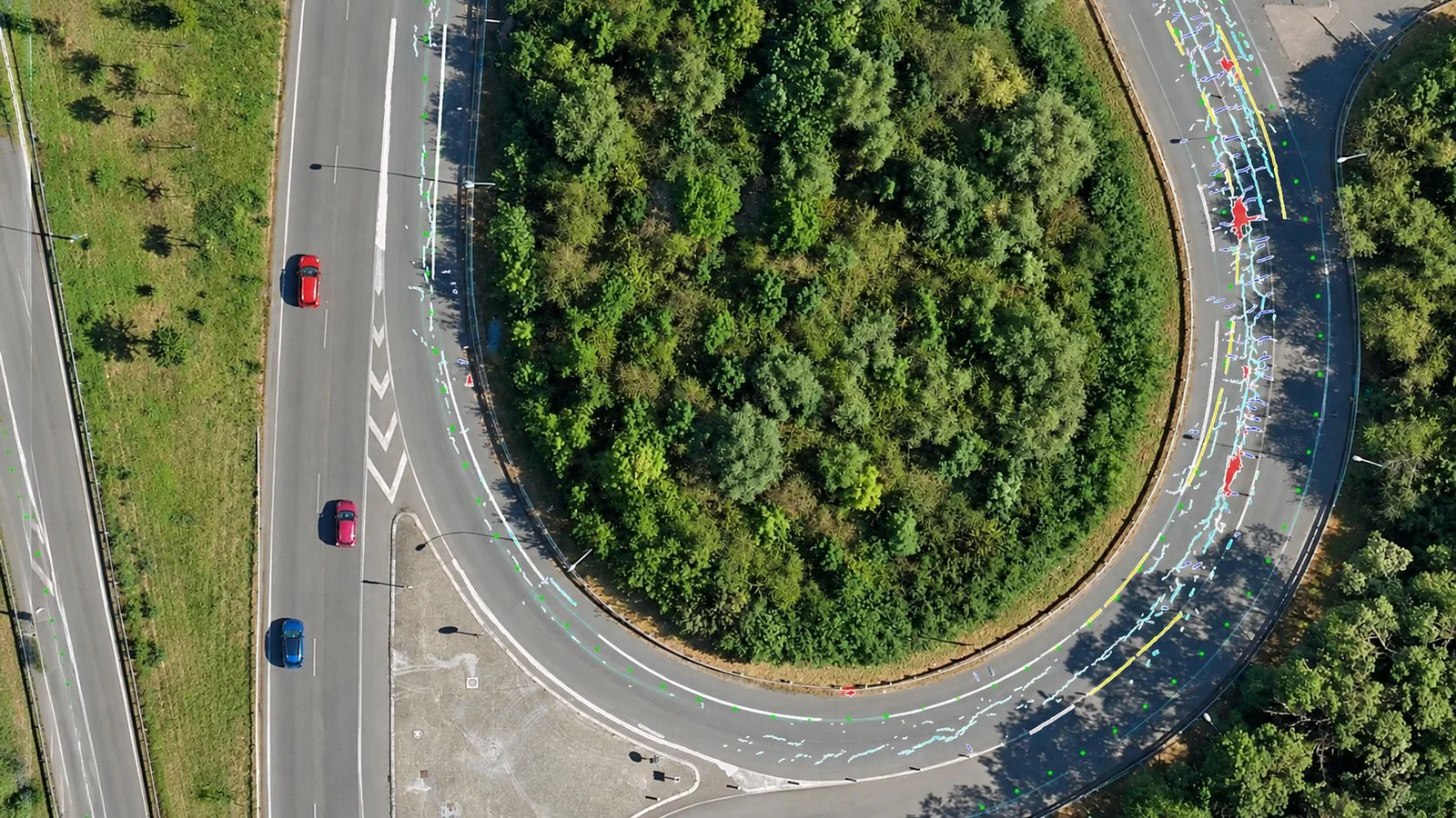
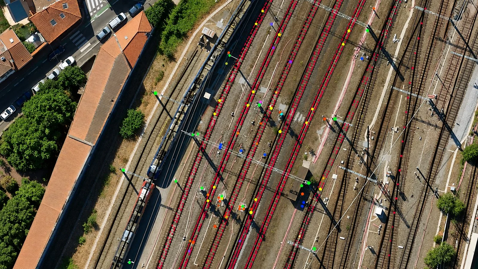
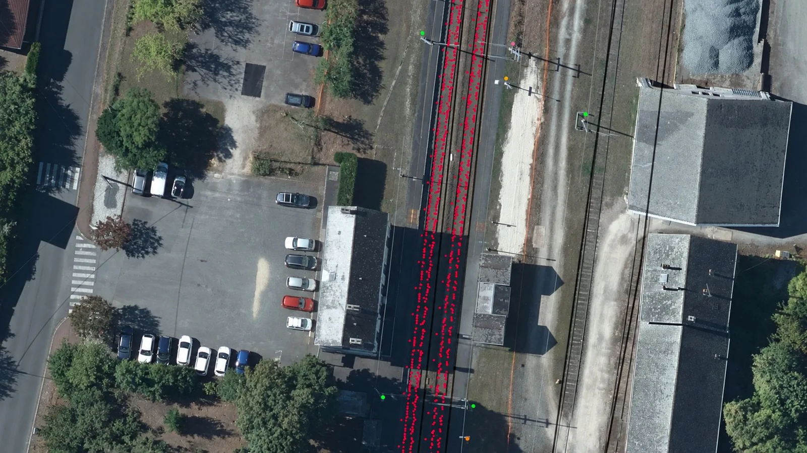
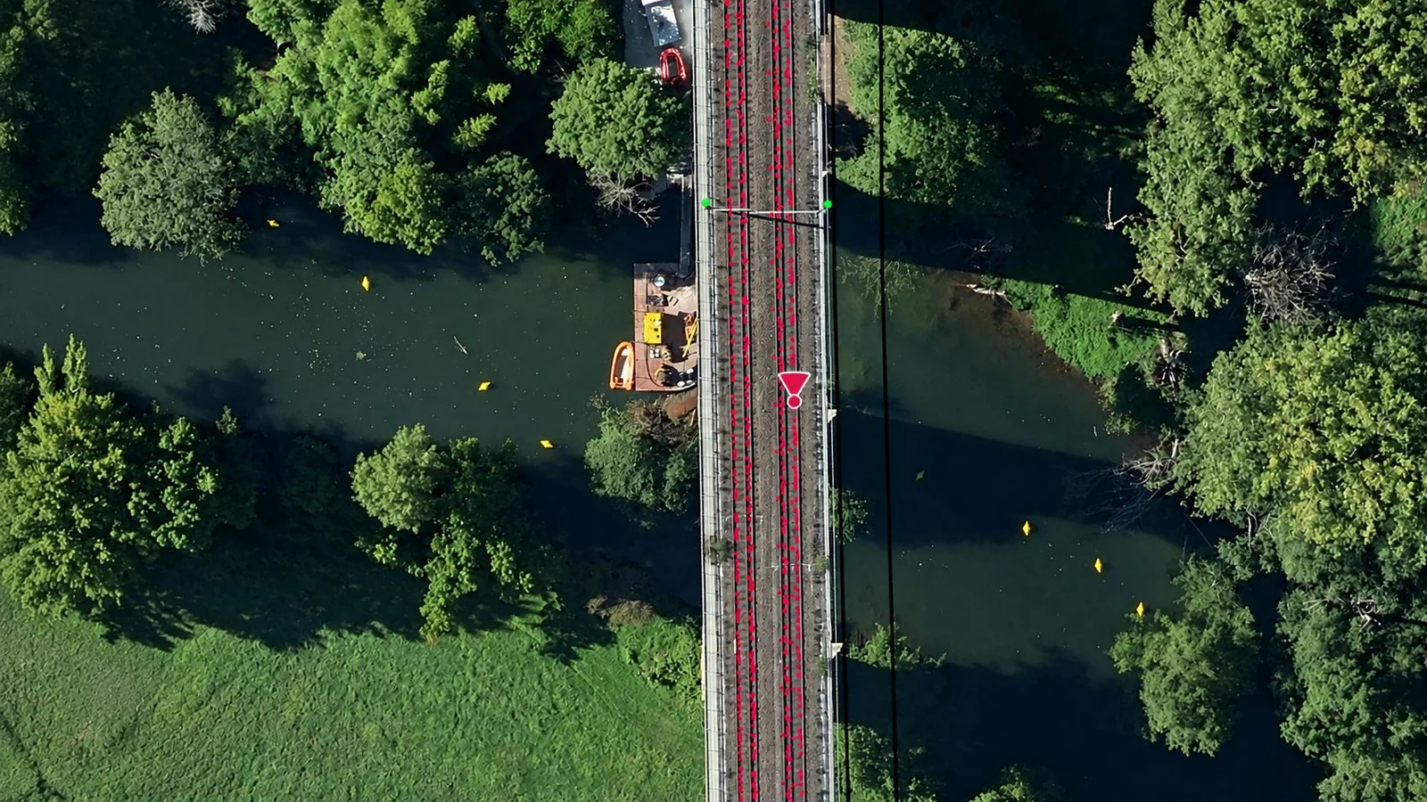
From the images collected with Imajing Capture, Imajnet® can contribute to the detection, positioning and analysis of various road or railway assets.
The platform can notably be used to:
To annotate road section quality (1 to 100 score).
This combination of mobile acquisition, accurate georeferencing and artificial intelligence opens new perspectives for infrastructure management.
Teams can produce inventories faster, update their reference data more frequently, make field information more reliable and reduce the time spent on manual surveys.
Imajnet® becomes far more than a visualisation platform. It is a complete environment for exploiting field data for measurements and geo-referencing.
The collected images, their positioning, the detected objects and the associated business information can be consulted, checked, exported, enriched and shared by every team concerned.
Capture with a smartphone
Centralisation and AI processing
Consult, analyse, share
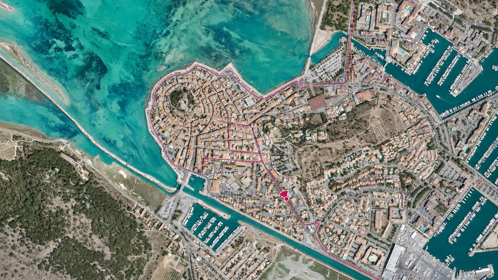
With Imajing Capture and Imajing LRS App, field teams can produce new data, enrich existing information and locate themselves accurately on their infrastructure.
All the useful information is integrated into Imajnet®, where it can be consulted, analysed and shared within a single collaborative environment.

 Discover Imajnet AI