From the Transgabonais railway to the streets of Baku, see how IMAJING mobile mapping answers concrete operational needs. Identify a need, read our response in a few seconds and open the complete case study in one click.
Response to the need
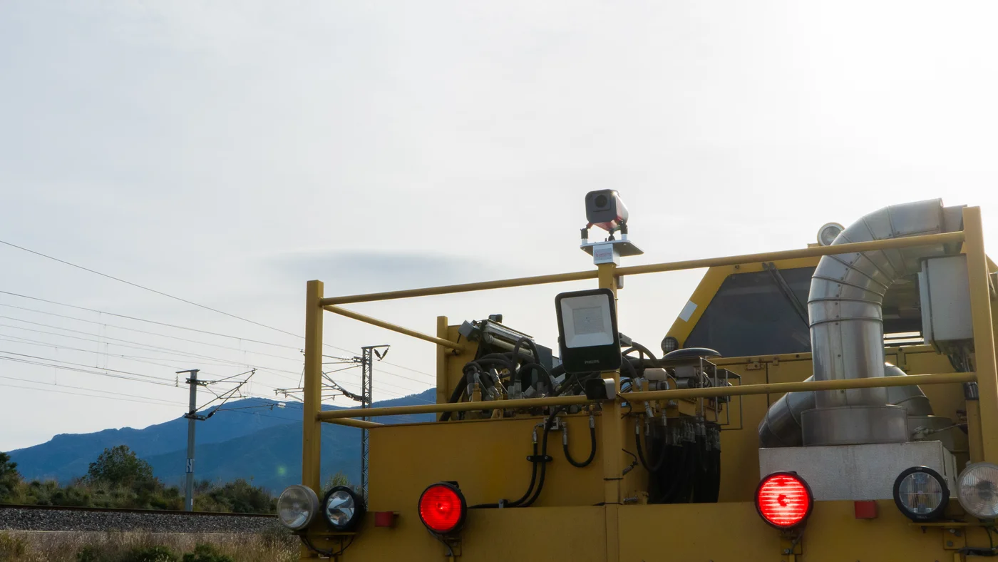
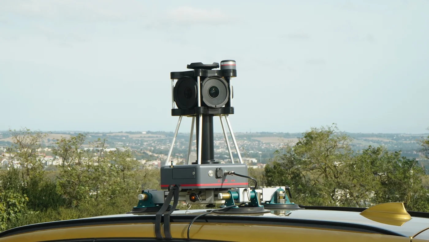
ADRA, the State Advertising Agency of Azerbaijan, needs the location and display area of outdoor advertising to calculate fees. An Imajbox® 360HD collects georeferenced 360° imagery in which display areas are measured, with the survey data used in Imajview®.
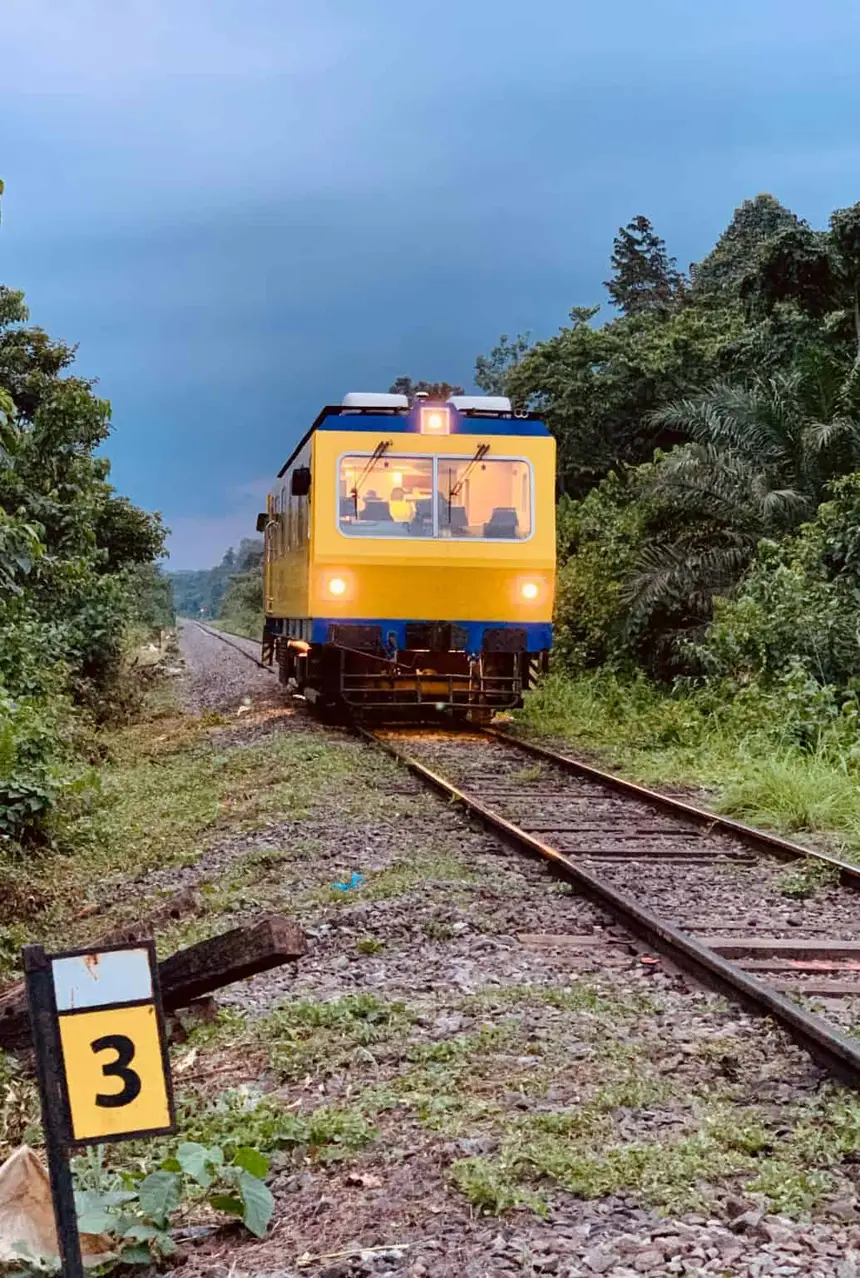 Photo credit: Eramet
Response to the need
SETRAG, operator of the Transgabonais line, needed to optimise the maintenance of a large-scale network while improving safety and reducing field visits. An imajbox® on its track measurement vehicle collects regularly updated imagery, published in imajnet® for virtual track visits and automatic equipment detection.
Response to the need
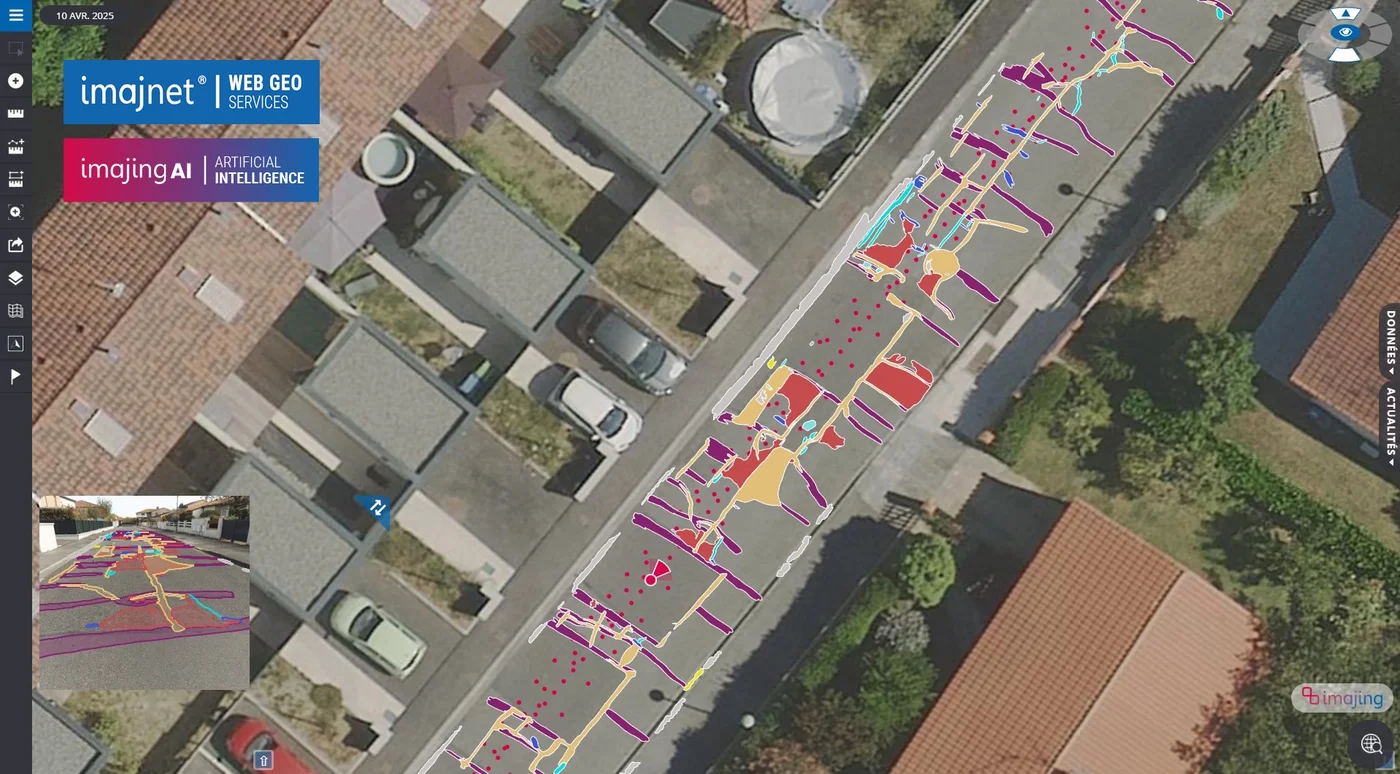
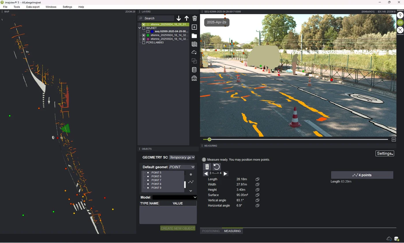
Local authorities must maintain their road assets on tight budgets. Mobile mapping and AI image analysis document infrastructure condition, reduce some inspection trips and help prioritise interventions. Shared data, exportable to GIS, supports budget planning based on identified needs.

Response to the need
Istanbul needed to inventory and assess the condition of more than 60,000 streetlights to plan their maintenance. A car-mounted imajbox® surveyed 2,500 km of roads in 12 weeks, including night surveys to check that the lamps were working.
Response to the need
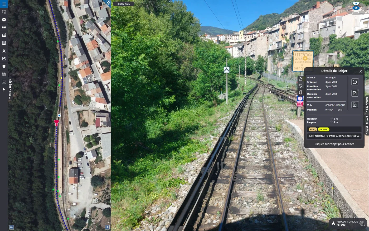
For train drivers, route knowledge is an essential skill. Front-facing and 360° georeferenced images become training material to illustrate routes, signals and installations and familiarise new staff with their sections. This material complements operating documents, practical training and regulatory assessments, without replacing them.
Response to the need
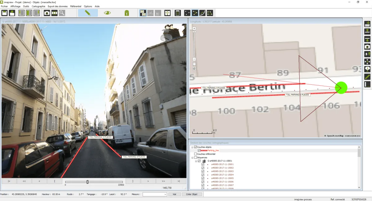
To comply with French law from January 2018, Marseille needed a complete and detailed record of its parking spaces. APMS used imajing solutions to survey and digitise more than 19,000 parking places, supporting the city’s parking tax policy.
Response to the need
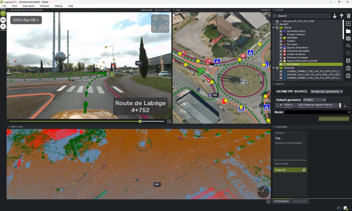
Engineering firms and asset managers must turn street-level imagery, aerial views, point clouds and existing GIS data into reliable information. Imajview® brings these sources together in one workspace to measure, georeference and digitise infrastructure as 3D GIS objects, then export structured layers for asset databases.
Response to the need
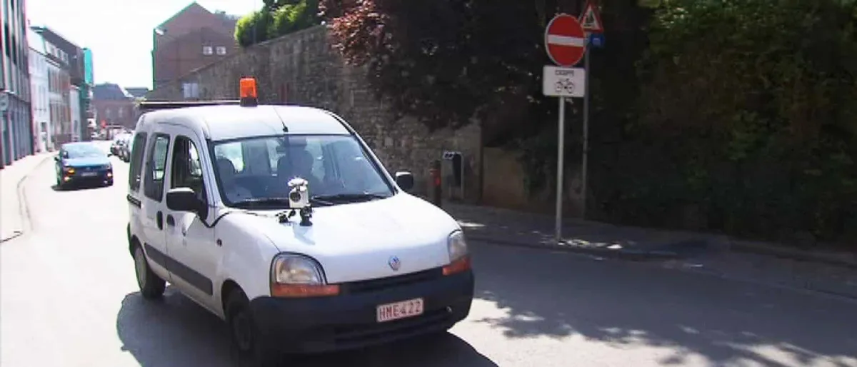
Namur wanted to maintain its streets more efficiently while reducing field visits. An imajbox® on a municipal vehicle captures images of the pavement and street assets, used to build the asset inventory and monitor pavement condition from the office.
Response to the need
Not every railway observation need calls for the same imagery. Front-facing Imajbox® 3TX+ surveys, 360° panoramas from the Imajbox® 360 and 360HD, and smartphone captures with Imajing Capture are combined to document tracks and lineside installations. Assets are measured in Imajview® or detected by Imajnet® AI, linked to kilometre points and shared in Imajnet®.
Response to the need
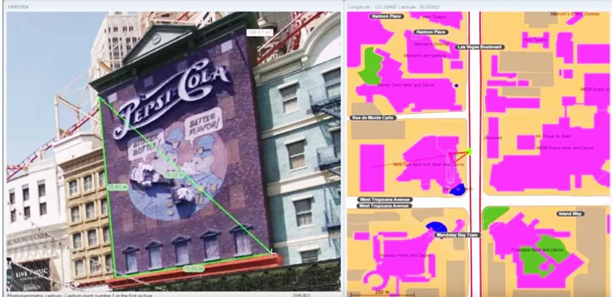
In Argentina, advertising signs in public areas are subject to local taxes, so their location and surface must be known and kept up to date. IRV surveys city streets with imajing’s end-to-end solution and calculates sign areas with the one-click measurement of imajing 3D pro.
Response to the need
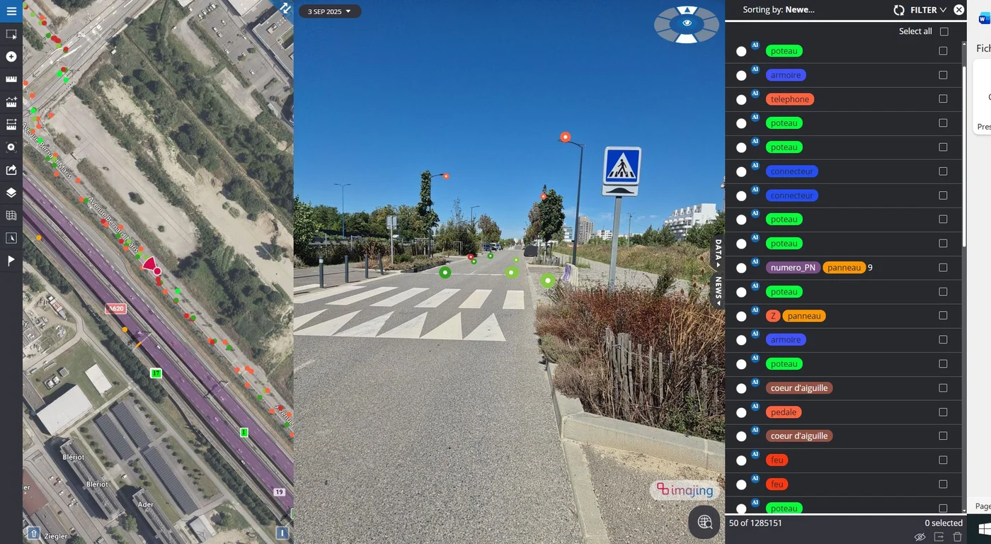
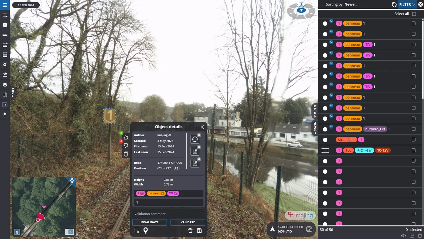
Road and rail managers need reliable inventories covering thousands of kilometres of network. An Imajbox® 3TX+ captures georeferenced imagery in a single pass, with centimetre-level RTK/PPK positioning when conditions allow. Assets are then digitised manually in Imajview® or detected by Imajnet® AI, checked and exported to GIS.
Response to the need
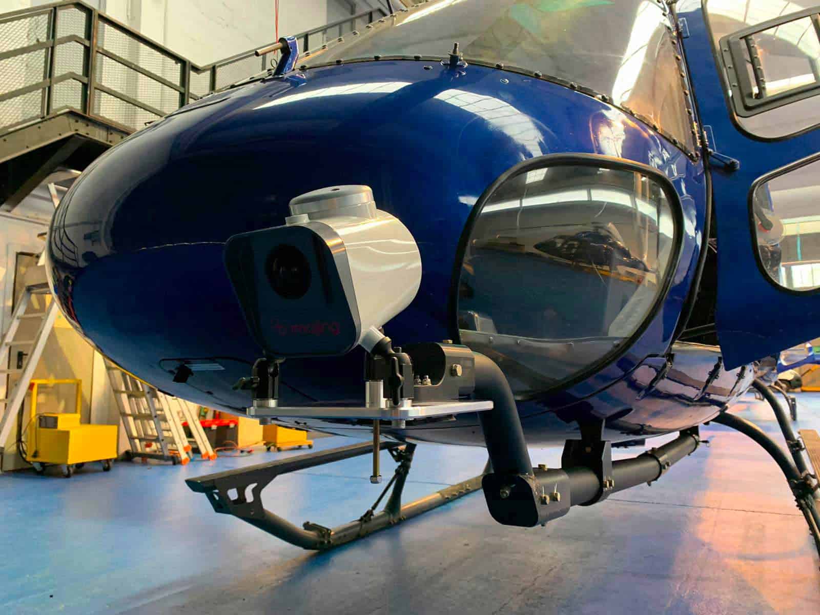
Managers of long linear networks such as railways, motorways, power lines, pipelines, rivers or canals need fast surveys over long distances. Installed outside on a multifunction arm and controlled from a smartphone, the imajbox® 3TX+ captures up to 17 georeferenced frames per second for GIS extraction or 3D point clouds.
Response to the need
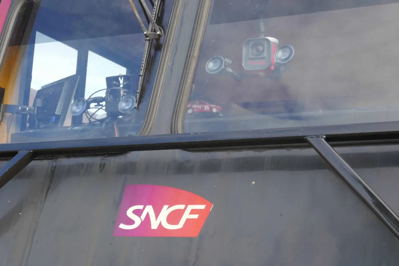
SNCF Réseau needed recurring georeferenced imagery of its entire main network. Since November 2016, three track geometry trains, each fitted with two imajbox®, have collected it every month for field inspection, maintenance and engineering studies through imajnet®.
Response to the need
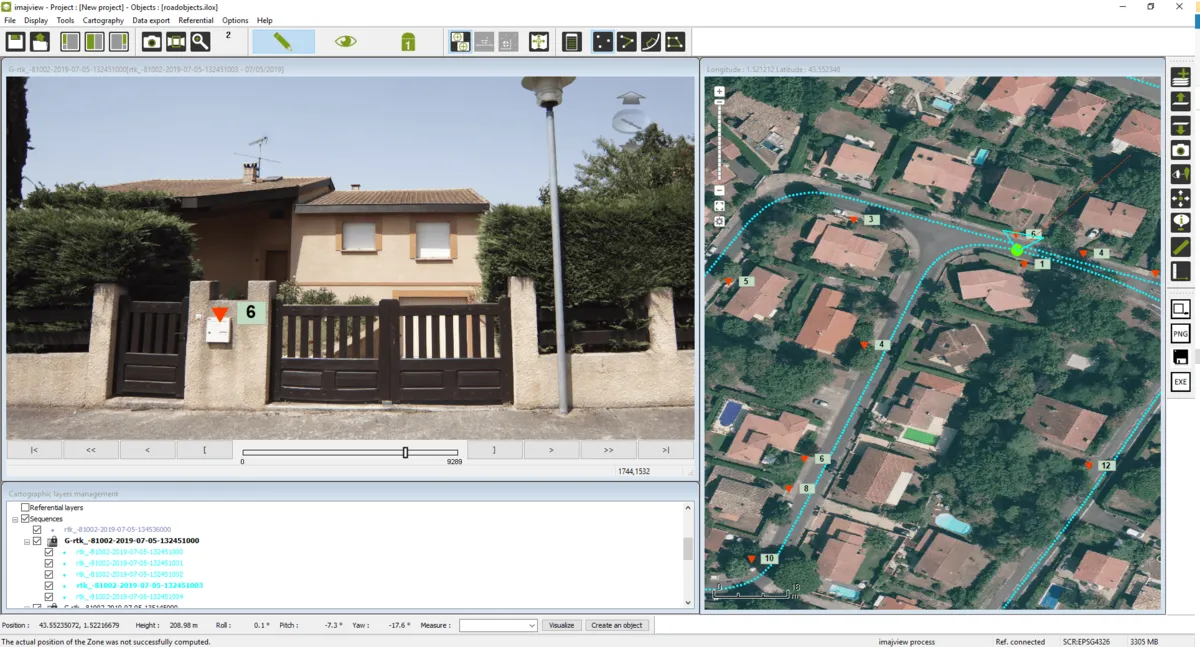
A GIS database records an asset by its coordinates, while a maintenance report identifies it by a line and KP, or a road and reference post. Imajview® imports or builds the linear referencing system, Imajnet® searches positions by coordinates or linear reference, and Imajnet LRS App gives field teams their linear position on a smartphone.
Response to the need
In Martinique, French Guiana and Guadeloupe, GDS Group needed accurate, up-to-date address and street name plans, far from its offices. imajbox® surveys are used to locate and digitise street plates and house numbers in imajview®, with attributes such as the public or private nature of the area.
Response to the need
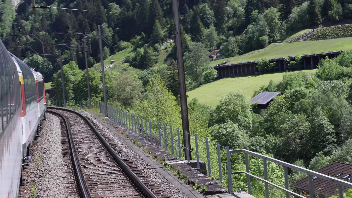
When a train is stopped on open line, evacuation options depend on the infrastructure. Georeferenced surveys document access points, tunnel emergency exits and routes beforehand; during an incident, authorised staff can look them up in Imajnet® by line and kilometre point, alongside official plans and procedures, which it does not replace.
Response to the need
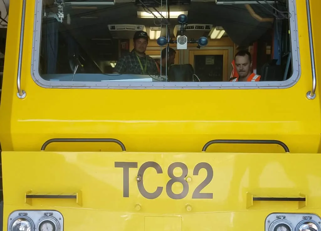
To renew signalling with CBTC on the Long Island (LIRR) and Metro-North (MNR) networks, the MTA needed reliable data on equipment and track geometry. imajbox® surveys during regular operations mapped equipment, distances, slopes and curves in geographic and linear coordinates, helping validate the SIL4 level.
Tell us about your project and our team will help you define the right survey and data workflow.